Transport Functions
Port
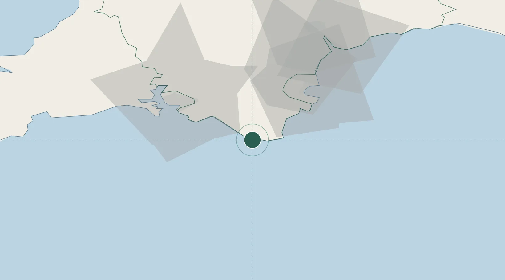
Location
Nearby Logistics Neighbours
Cities
- 1Salcombe2 km
- 2Hope Cove5 km
- 3Kingsbridge8 km
- 4Goveton8 km
- 5Strete15 km
Ports
- 1Dartmouth Harbour19 km
- 2Brixham Harbour28 km
- 3Plymouth31 km
- 4Torquay Harbour33 km
- 5Teignmouth Harbour42 km
Airports
- 1Exeter International Airport63 km
- 2Cornwall Airport Newquay90 km
- 3Royal Marines Base Chivenor100 km
- 4Hartland Point Heliport103 km
- 5RNAS Culdrose106 km
Trade Zones
DatabookThe Record of Consolidated Knowledge
United Kingdom beyond logistics?