UN/LOCODE hub · United Kingdom
GBRDH

Rudh Re - Red Point

57.6333°, -5.8167°
1
Transport functions

Transport Functions

Port
UN/LOCODE

Hub Profile

Region
HLD
GeoNames

Location

Location of GBRDH
Natural Earth 10m (public domain) · HLD · GBRDH · 57.63, -5.82GoogleOSMYandex

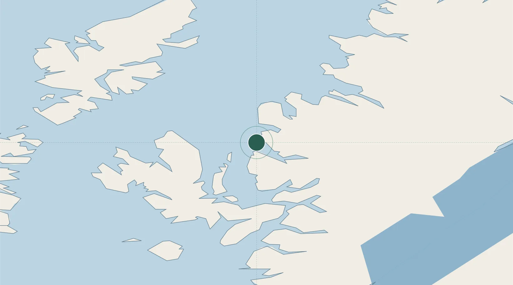
Nearby Logistics Neighbours

Cities
  1. 1Gairloch12 km
  2. 2Shieldaig17 km
  3. 3Poolewe18 km
  4. 4Torridon21 km
  5. 5Aultbea27 km
Nearest neighbours — logibook spatial index (haversine) over the source coordinates
Ports
  1. 1Gairloch12 km
  2. 2Aultbea26 km
  3. 3Uig32 km
  4. 4Portree Harbor33 km
  5. 5Plockton35 km
Nearest neighbours — logibook spatial index (haversine) over the source coordinates
Airports
  1. 1Stornoway Airport72 km
  2. 2Benbecula Airport94 km
  3. 3Inverness Airport106 km
  4. 4Barra Airport119 km
  5. 5Coll Airport125 km
Nearest neighbours — logibook spatial index (haversine) over the source coordinates
Trade Zones
  1. 1Prestwick Airport Free Zone247 km
  2. 2Carlisle Kingmoor Park Enterprise Zone348 km
  3. 3North Eastern Enterprise Zone393 km
  4. 4Isle of Man Free Zone and Business Park401 km
  5. 5Tees Valley Enterprise Zone443 km
Nearest neighbours — logibook spatial index (haversine) over the source coordinates
DatabookThe Record of Consolidated Knowledge
United Kingdom beyond logistics?
Browse databook

All Sources

LocationsUN/LOCODE
UN/LOCODE — free
Portsthe NGA World Port Index
Public domain (US gov)
AirportsOurAirports
Public domain
Trade Zonesthe World Bank SEZ database
CC BY 4.0
Trade ZonesOpen Zone Map
CC BY
← United Kingdom locations