Transport Functions
Port
Hub Profile
Place type
Populated place
Region
Scotland
Time zone
Europe/London
Elevation
14 m
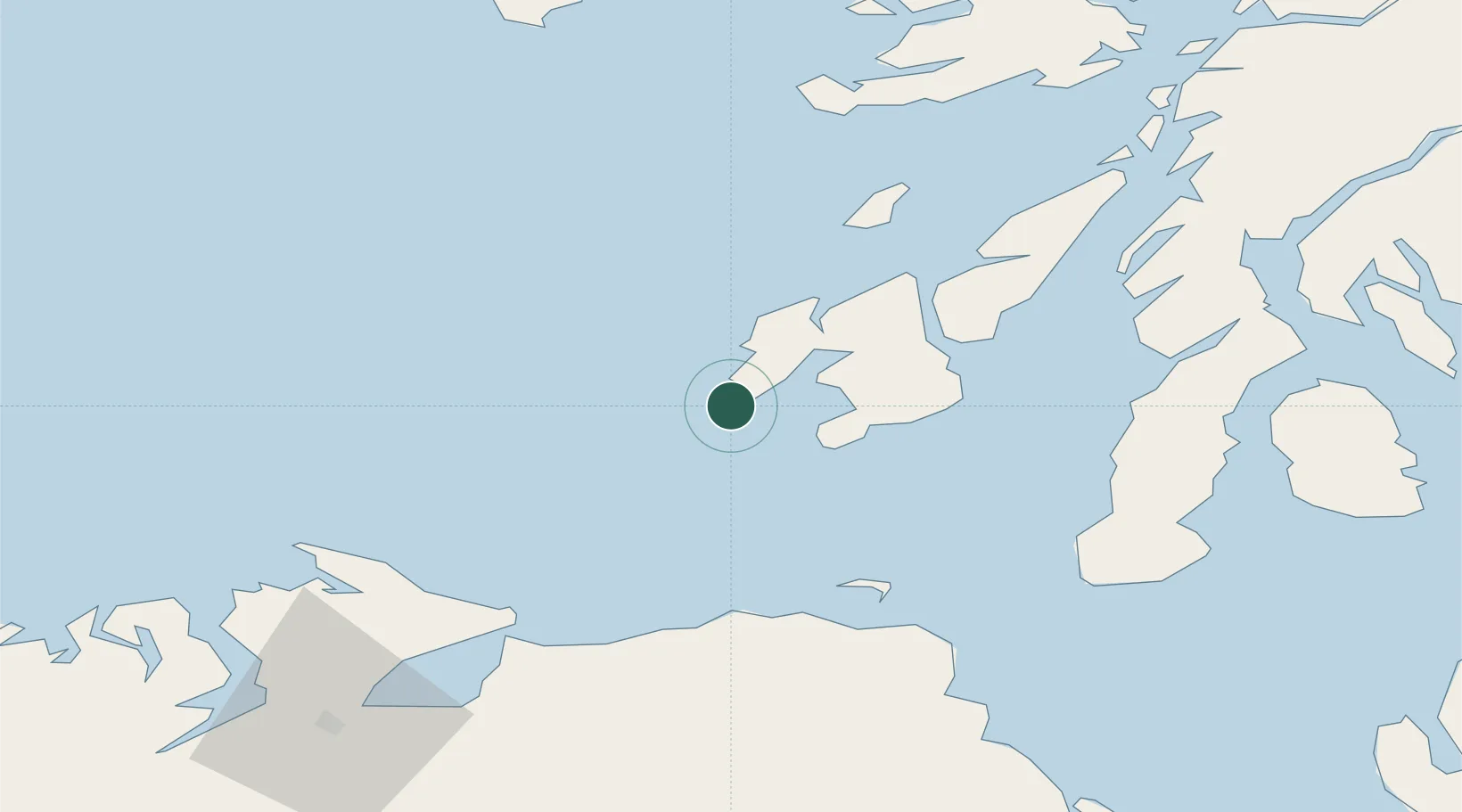
Location
Nearby Logistics Neighbours
Cities
- 1Bruichladdich14 km
- 2Port Ellen20 km
- 3Islay22 km
- 4Ardbeg25 km
- 5Kilrea29 km
Ports
- 1Port Ellen19 km
- 2Coleraine60 km
- 3Campbeltown62 km
- 4Crinan (Canal)74 km
- 5Ardrishaig76 km
Airports
- 1Islay Airport15 km
- 2Colonsay Airstrip46 km
- 3Campbeltown Airport57 km
- 4City of Derry Airport81 km
- 5Tiree Airport95 km
Trade Zones
DatabookThe Record of Consolidated Knowledge
United Kingdom beyond logistics?