UN/LOCODE hub · United Kingdom
GBISY

Islay

55.8000°, -6.2500°
1
Transport functions

Transport Functions

Port
UN/LOCODE

Hub Profile

Region
AGB
GeoNames

Location

Location of GBISY
Natural Earth 10m (public domain) · AGB · GBISY · 55.80, -6.25GoogleOSMYandex

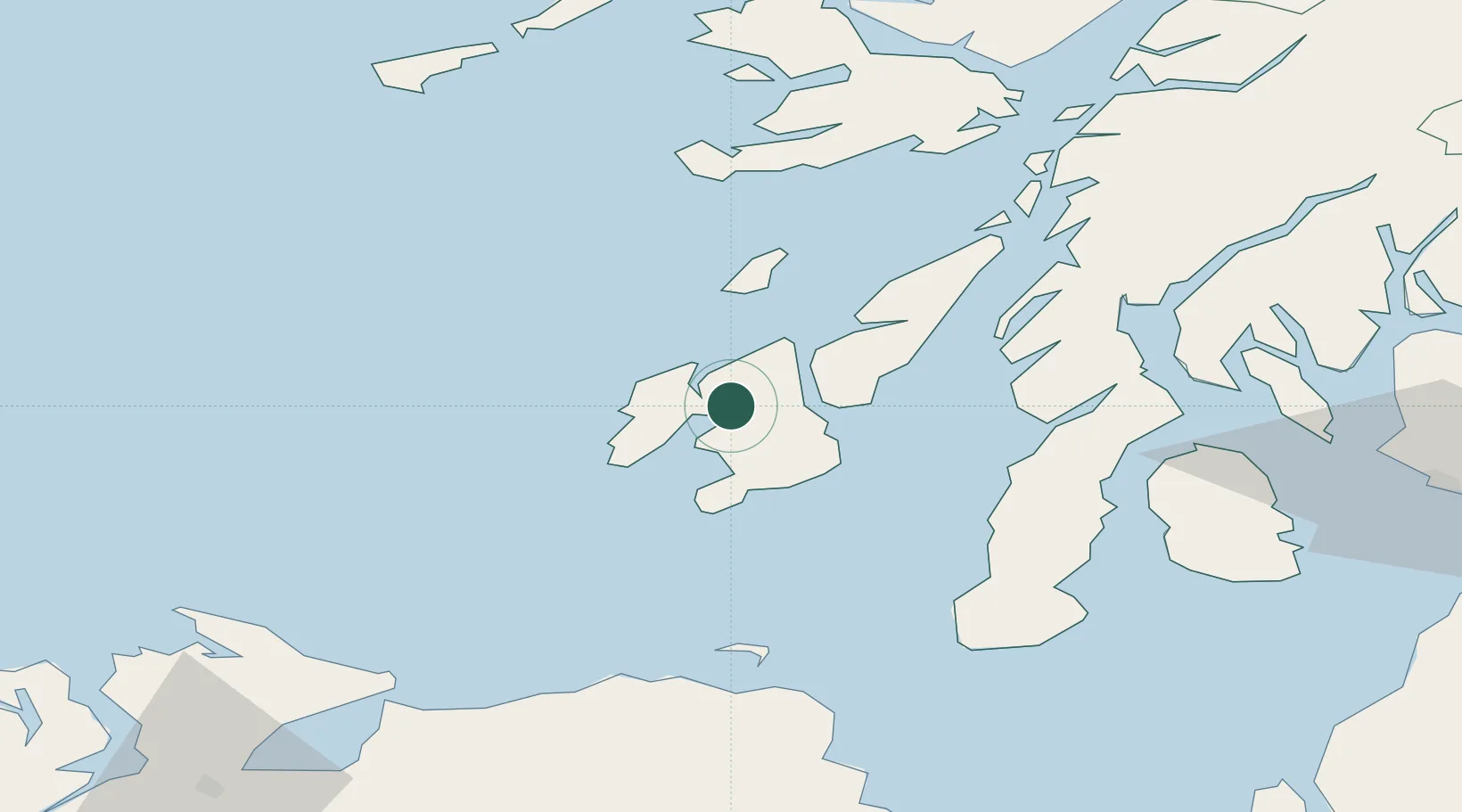
Nearby Logistics Neighbours

Cities
  1. 1Bruichladdich8 km
  2. 2Port Askaig10 km
  3. 3Bunnahabhain12 km
  4. 4Feolin Ferry13 km
  5. 5Port Ellen19 km
Nearest neighbours — logibook spatial index (haversine) over the source coordinates
Ports
  1. 1Port Ellen19 km
  2. 2Crinan (Canal)53 km
  3. 3Ardrishaig55 km
  4. 4Campbeltown58 km
  5. 5Rothesay Harbor75 km
Nearest neighbours — logibook spatial index (haversine) over the source coordinates
Airports
  1. 1Islay Airport13 km
  2. 2Colonsay Airstrip29 km
  3. 3Campbeltown Airport54 km
  4. 4Tiree Airport87 km
  5. 5Oban Airport91 km
Nearest neighbours — logibook spatial index (haversine) over the source coordinates
Trade Zones
  1. 1Prestwick Airport Free Zone108 km
  2. 2Isle of Man Free Zone and Business Park216 km
  3. 3Carlisle Kingmoor Park Enterprise Zone229 km
  4. 4Dublin International Financial Services Centre273 km
  5. 5Blackpool Enterprise Zone305 km
Nearest neighbours — logibook spatial index (haversine) over the source coordinates
DatabookThe Record of Consolidated Knowledge
United Kingdom beyond logistics?
Browse databook

All Sources

LocationsUN/LOCODE
UN/LOCODE — free
Portsthe NGA World Port Index
Public domain (US gov)
AirportsOurAirports
Public domain
Trade Zonesthe World Bank SEZ database
CC BY 4.0
Trade ZonesOpen Zone Map
CC BY
← United Kingdom locations