Channel & Berth Profile
Pilotage, Tugs & Services
Pilotage compulsoryNO
Pilotage availableYES
Pilotage advisableYES
Local assistanceYES
Tug assistanceYES
Shore powerNO
Potable waterYES
Diesel bunkersYES
MedicalYES
Garbage disposalYES
Facilities & Capabilities
Container—
Ro-Ro—
Liquid bulk—
Dry bulk—
Oil terminal—
Break bulk—
Dry dock—
RepairsNO
BunkeringYES
Rail link—
Dangerous cargo—
ISPS security—
Harbour Specifications
Harbour size
Small
Harbour type
Coastal (Natural)
Shelter
Good
Water body
North Atlantic Ocean
Tidal range
3 m
Overhead limit
No
Pilotage
No
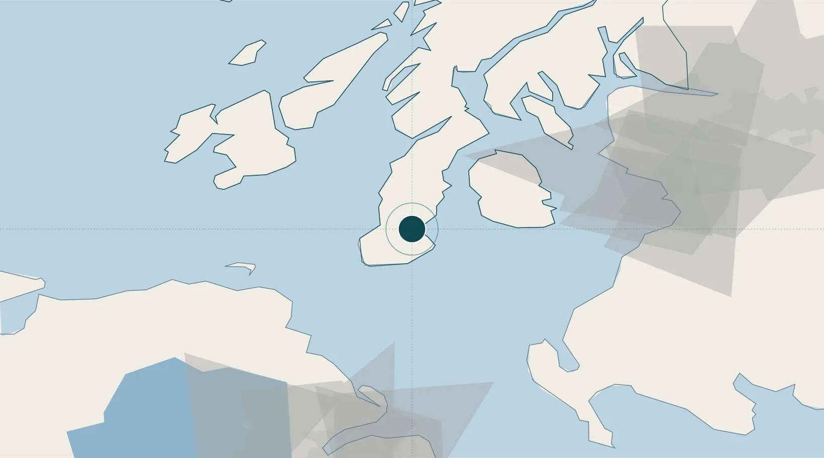
Location
Nearby Logistics Neighbours
Ports
- 1Lamlash Harbor32 km
- 2Port Ellen44 km
- 3Ardrossan55 km
- 4Millport56 km
- 5Rothesay Harbor56 km
Cities
- 1Southend Argyll13 km
- 2Carradale19 km
- 3Muasdale19 km
- 4Shiskine21 km
- 5Tayinloan24 km
Airports
- 1Campbeltown Airport6 km
- 2Islay Airport50 km
- 3Glasgow Prestwick Airport65 km
- 4Colonsay Airstrip80 km
- 5Glasgow Airport88 km
Trade Zones
DatabookThe Record of Consolidated Knowledge
United Kingdom beyond logistics?