Channel & Berth Profile
Pilotage, Tugs & Services
Pilotage compulsoryNO
Pilotage availableYES
Pilotage advisableYES
Local assistanceYES
Tug assistanceNO
Salvage tugsNO
MedicalYES
Garbage disposalNO
Facilities & Capabilities
Container—
Ro-Ro—
Liquid bulk—
Dry bulk—
Oil terminal—
Break bulk—
Dry dock—
RepairsNO
BunkeringYES
Rail link—
Dangerous cargo—
ISPS security—
Harbour Specifications
Harbour size
Very Small
Harbour type
Canal or Lake
Shelter
Good
Water body
North Atlantic Ocean
Tidal range
3 m
Overhead limit
Yes
Pilotage
No
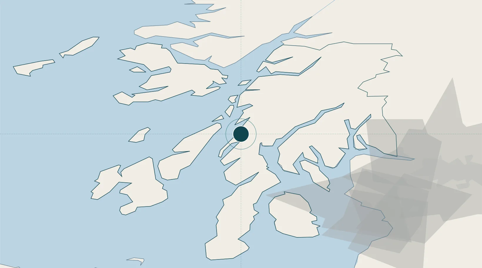
Location
Nearby Logistics Neighbours
Ports
- 1Ardrishaig10 km
- 2Oban38 km
- 3Rothesay Harbor43 km
- 4Craignure43 km
- 5Finnart Oil Terminal46 km
Cities
- 1Tayvallich8 km
- 2Ardrishaig10 km
- 3Ardfern11 km
- 4Toberonochy13 km
- 5Cuan Ferry, Seil21 km
Airports
- 1Colonsay Airstrip42 km
- 2Oban Airport44 km
- 3Islay Airport62 km
- 4Campbeltown Airport72 km
- 5Glasgow Airport74 km
Trade Zones
DatabookThe Record of Consolidated Knowledge
United Kingdom beyond logistics?