Transport Functions
Port
Hub Profile
Place type
Populated place
Region
Scotland
Time zone
Europe/London
Elevation
21 m
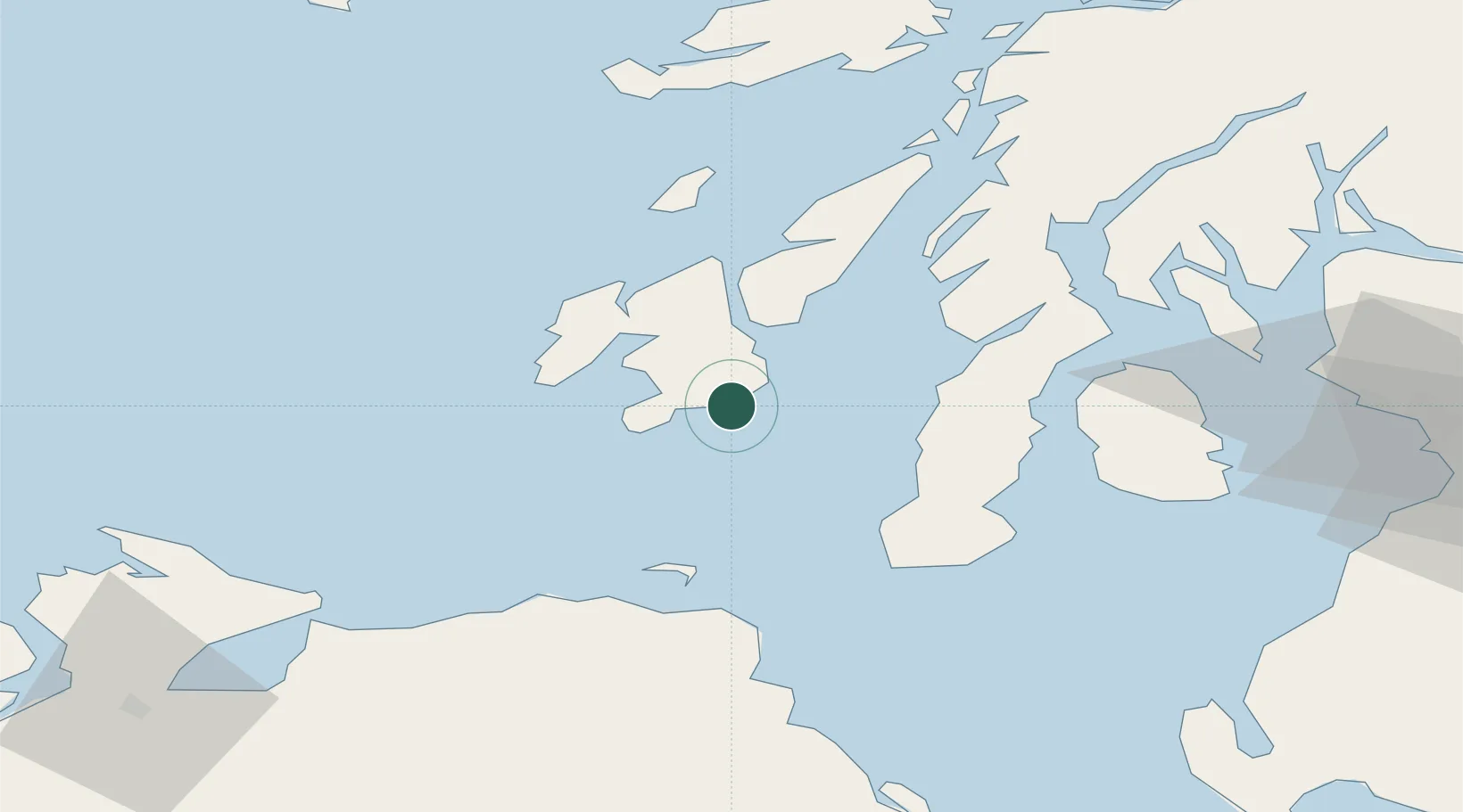
Location
Nearby Logistics Neighbours
Cities
- 1Port Ellen5 km
- 2Islay21 km
- 3Bruichladdich22 km
- 4Ardminish, Gigha Island23 km
- 5Port Askaig24 km
Ports
- 1Port Ellen6 km
- 2Campbeltown39 km
- 3Ardrishaig59 km
- 4Crinan (Canal)60 km
- 5Lamlash Harbor63 km
Airports
- 1Islay Airport11 km
- 2Campbeltown Airport34 km
- 3Colonsay Airstrip48 km
- 4City of Derry Airport94 km
- 5Glasgow Prestwick Airport97 km
Trade Zones
DatabookThe Record of Consolidated Knowledge
United Kingdom beyond logistics?