UN/LOCODE hub · United Kingdom
GBBCH
Bruichladdich
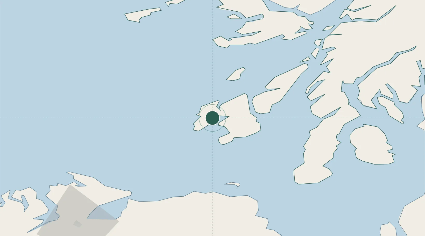
55.7667°, -6.3667°
50
Population
2
Transport functions
Transport Functions
Port
Road
Hub Profile
Place type
Populated place
Region
Scotland
Population
50
Time zone
Europe/London
Elevation
4 m
Location
Nearby Logistics Neighbours
Cities
- 1Islay8 km
- 2Portnahaven14 km
- 3Port Askaig18 km
- 4Port Ellen19 km
- 5Bunnahabhain20 km
Ports
- 1Port Ellen18 km
- 2Campbeltown61 km
- 3Crinan (Canal)61 km
- 4Ardrishaig64 km
- 5Coleraine73 km
Airports
- 1Islay Airport12 km
- 2Colonsay Airstrip33 km
- 3Campbeltown Airport56 km
- 4Tiree Airport87 km
- 5Coll Airport94 km
Trade Zones
DatabookThe Record of Consolidated Knowledge
United Kingdom beyond logistics?