UN/LOCODE hub · United Kingdom
GBPLN
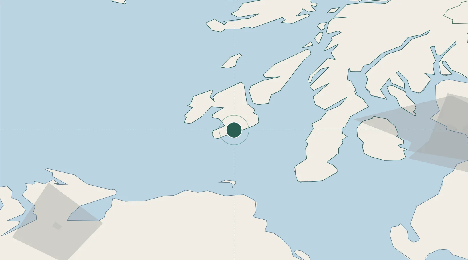
Port Ellen
55.6333°, -6.1833°
830
Population
1
Transport functions
Transport Functions
Port
Hub Profile
Place type
Populated place
Region
Scotland
Population
830
Time zone
Europe/London
Elevation
31 m
Location
Nearby Logistics Neighbours
Cities
- 1Ardbeg5 km
- 2Bruichladdich19 km
- 3Islay19 km
- 4Portnahaven20 km
- 5Port Askaig25 km
Ports
- 1Campbeltown43 km
- 2Ardrishaig63 km
- 3Crinan (Canal)63 km
- 4Coleraine63 km
- 5Lamlash Harbor68 km
Airports
- 1Islay Airport7 km
- 2Campbeltown Airport38 km
- 3Colonsay Airstrip47 km
- 4City of Derry Airport90 km
- 5Glasgow Prestwick Airport102 km
Trade Zones
DatabookThe Record of Consolidated Knowledge
United Kingdom beyond logistics?