Transport Functions
Multimodal
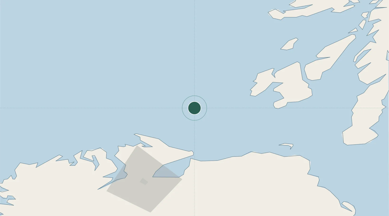
Hub Profile
Place type
Populated place
Region
Northern Ireland
Population
1,616
Time zone
Europe/London
Elevation
49 m
Location
Nearby Logistics Neighbours
Cities
- 1Portnahaven29 km
- 2Ahoghill29 km
- 3Bruichladdich41 km
- 4Greencastle43 km
- 5Magilligan Point Ferry Terminal, Lough Foyle45 km
Ports
- 1Port Ellen46 km
- 2Coleraine53 km
- 3Rathmullan66 km
- 4Londonderry69 km
- 5Campbeltown86 km
Airports
- 1Islay Airport44 km
- 2City of Derry Airport62 km
- 3Colonsay Airstrip68 km
- 4Campbeltown Airport80 km
- 5Tiree Airport102 km
Trade Zones
DatabookThe Record of Consolidated Knowledge
United Kingdom beyond logistics?