Channel & Berth Profile
Pilotage, Tugs & Services
Pilotage compulsoryNO
Pilotage availableNO
Tug assistanceNO
Salvage tugsNO
Shore powerYES
Potable waterYES
Diesel bunkersYES
MedicalYES
Garbage disposalYES
Facilities & Capabilities
Container—
Ro-Ro—
Liquid bulk—
Dry bulk—
Oil terminal—
Break bulk—
Dry dock—
RepairsNO
BunkeringYES
Rail link—
Dangerous cargo—
ISPS security—
Harbour Specifications
Harbour size
Very Small
Harbour type
Coastal (Natural)
Shelter
Fair
Water body
North Atlantic Ocean
Tidal range
2 m
Overhead limit
Yes
Pilotage
No
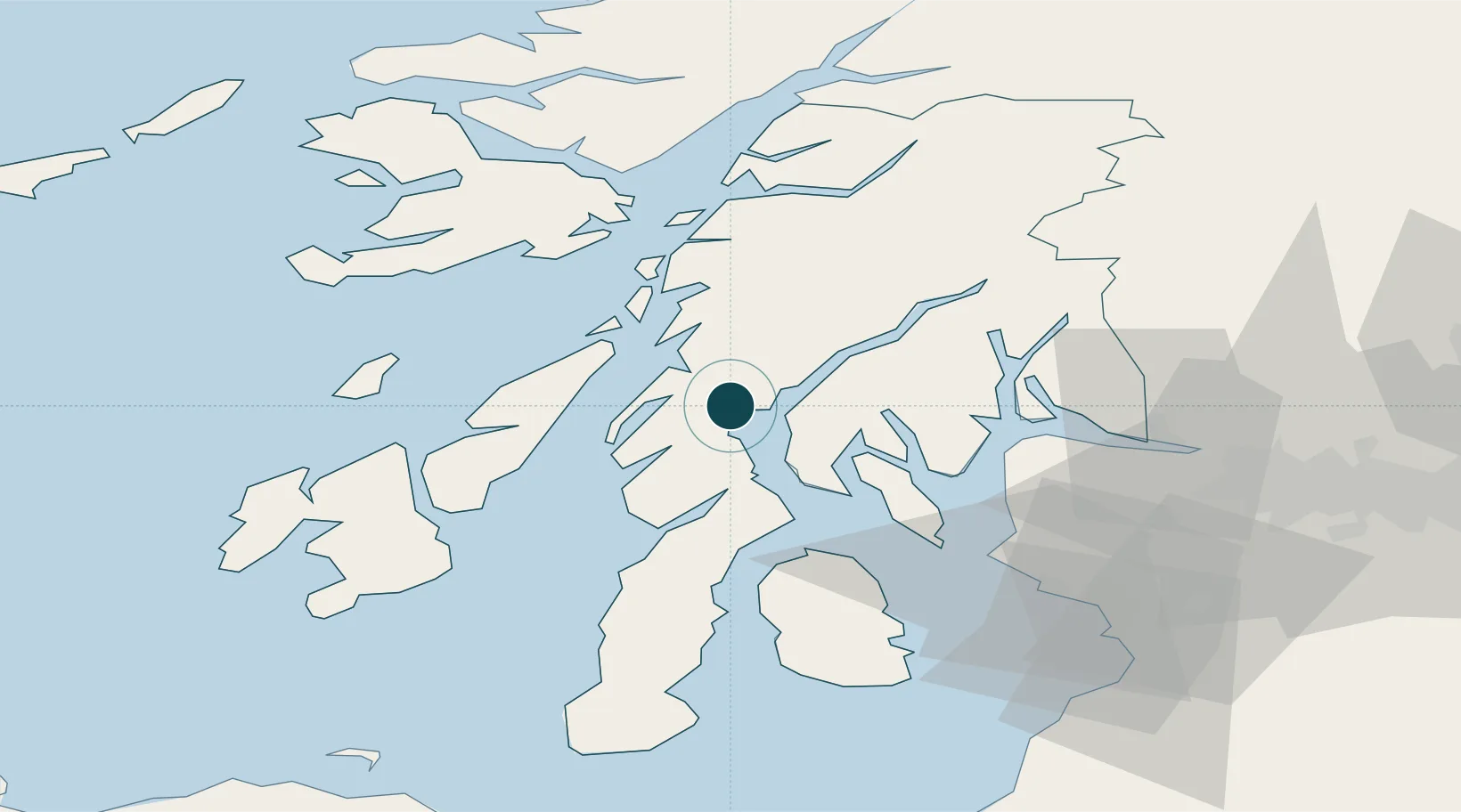
Location
Nearby Logistics Neighbours
Ports
- 1Crinan (Canal)10 km
- 2Rothesay Harbor32 km
- 3Faslane40 km
- 4Finnart Oil Terminal40 km
- 5Largs44 km
Cities
- 1Tayvallich10 km
- 2Crinan10 km
- 3Tarbert, Loch Fyne17 km
- 4West Loch Tarbert19 km
- 5Tighnabruaich19 km
Airports
- 1Colonsay Airstrip50 km
- 2Oban Airport50 km
- 3Islay Airport63 km
- 4Glasgow Airport65 km
- 5Campbeltown Airport66 km
Trade Zones
DatabookThe Record of Consolidated Knowledge
United Kingdom beyond logistics?