Transport Functions
Rail
Road
Hub Profile
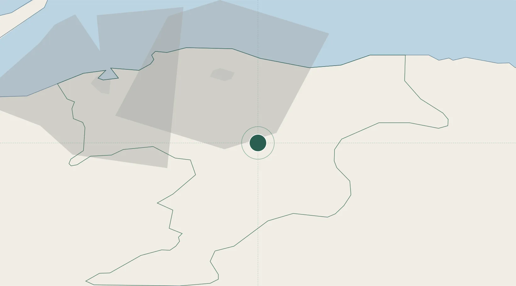
Region
MRY
Location
Nearby Logistics Neighbours
Cities
- 1Elgin22 km
- 2Portgordon25 km
- 3Lossiemouth26 km
- 4Buckie27 km
- 5Hopeman29 km
Ports
- 1Lossiemouth28 km
- 2Buckie Harbor28 km
- 3Burghead31 km
- 4Macduff48 km
- 5Cromarty54 km
Airports
- 1RAF Lossiemouth28 km
- 2Inverness Airport50 km
- 3Aberdeen International Airport68 km
- 4Wick John O'Groats Airport111 km
- 5Dundee Airport113 km
Trade Zones
DatabookThe Record of Consolidated Knowledge
United Kingdom beyond logistics?