Transport Functions
Port
Hub Profile
Place type
Populated place
Region
Scotland
Time zone
Europe/London
Elevation
1 m
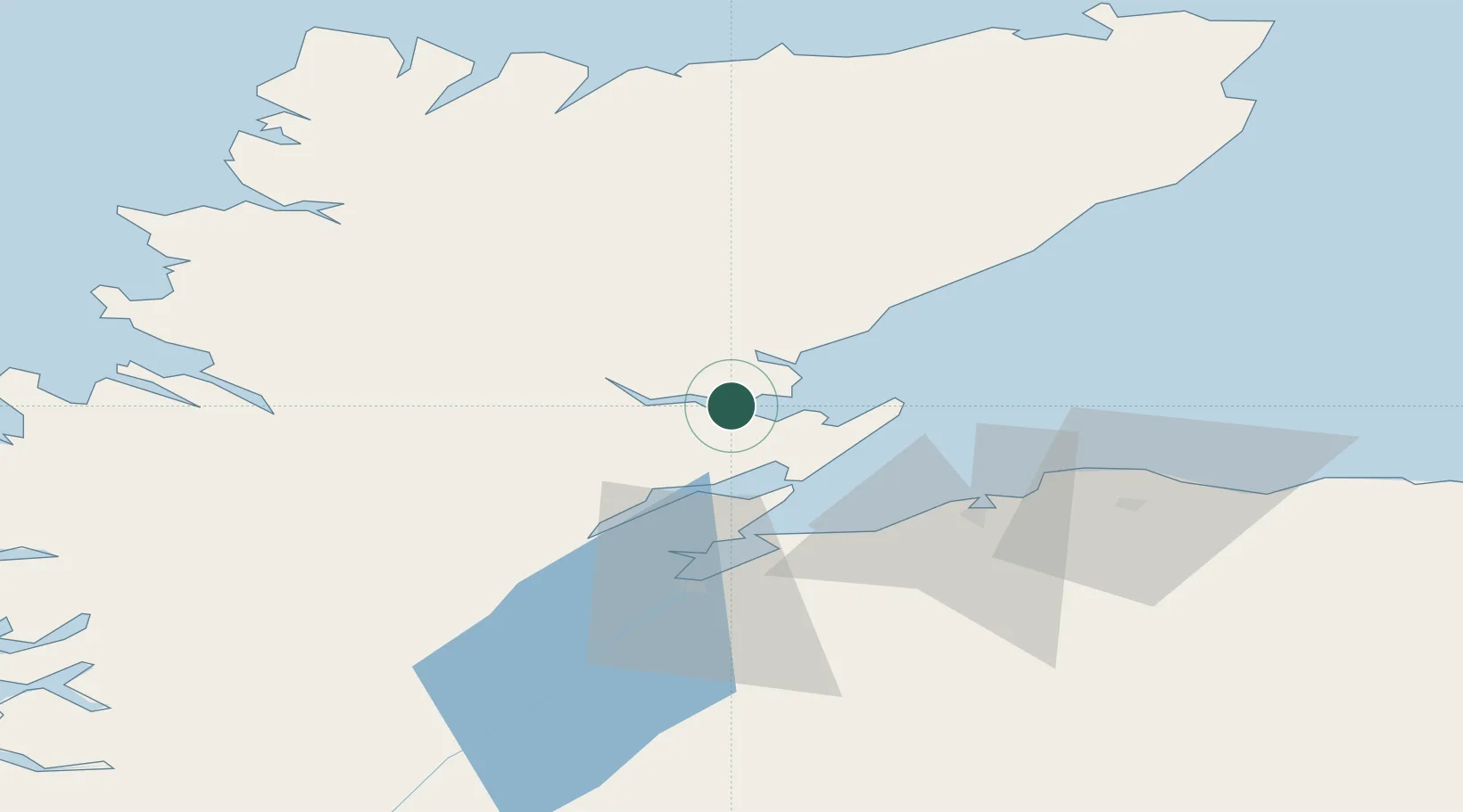
Location
Nearby Logistics Neighbours
Cities
- 1Tain7 km
- 2Invergordon17 km
- 3Nigg17 km
- 4Balintore18 km
- 5Golspie18 km
Ports
- 1Portmahomack Harbor18 km
- 2Invergordon19 km
- 3Cromarty20 km
- 4Burghead41 km
- 5Helmsdale Harbor41 km
Airports
- 1Inverness Airport35 km
- 2RAF Lossiemouth50 km
- 3Wick John O'Groats Airport91 km
- 4Stornoway Airport136 km
- 5Aberdeen International Airport136 km
Trade Zones
DatabookThe Record of Consolidated Knowledge
United Kingdom beyond logistics?