UN/LOCODE hub · United Kingdom
GBLKD
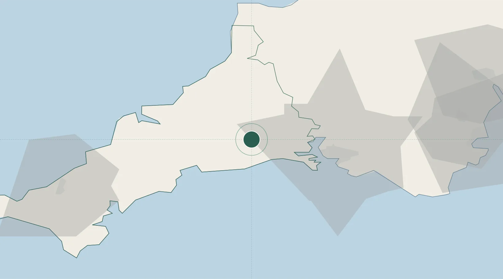
Liskeard
50.4500°, -4.4667°
9,237
Population
2
Transport functions
Transport Functions
Rail
Road
Hub Profile
Place type
Populated place
Region
England
Population
9,237
Time zone
Europe/London
Elevation
129 m
Location
Nearby Logistics Neighbours
Cities
- 1River Fowey10 km
- 2Looe11 km
- 3Polperro14 km
- 4Saint Sampson (Golant)16 km
- 5Cawsand17 km
Ports
- 1Fowey Harbour18 km
- 2Par20 km
- 3Charlestown24 km
- 4Plymouth24 km
- 5Mevagissey30 km
Airports
- 1Cornwall Airport Newquay38 km
- 2Hartland Point Heliport63 km
- 3RNAS Culdrose69 km
- 4Royal Marines Base Chivenor74 km
- 5Lundy Island Helipad81 km
Trade Zones
DatabookThe Record of Consolidated Knowledge
United Kingdom beyond logistics?