Channel & Berth Profile
Pilotage, Tugs & Services
Pilotage compulsoryYES
Pilotage availableYES
Tug assistanceNO
Salvage tugsNO
Potable waterYES
Diesel bunkersYES
MedicalYES
Garbage disposalYES
Facilities & Capabilities
Container—
Ro-Ro—
Liquid bulk—
Dry bulk—
Oil terminal—
Break bulk—
Dry dock—
RepairsNO
BunkeringYES
Rail linkYES
Dangerous cargo—
ISPS security—
Harbour Specifications
Harbour size
Very Small
Harbour type
Coastal (Tide Gates)
Shelter
Good
Water body
English Channel; North Atlantic Ocean
Tidal range
4 m
Pilotage
Yes
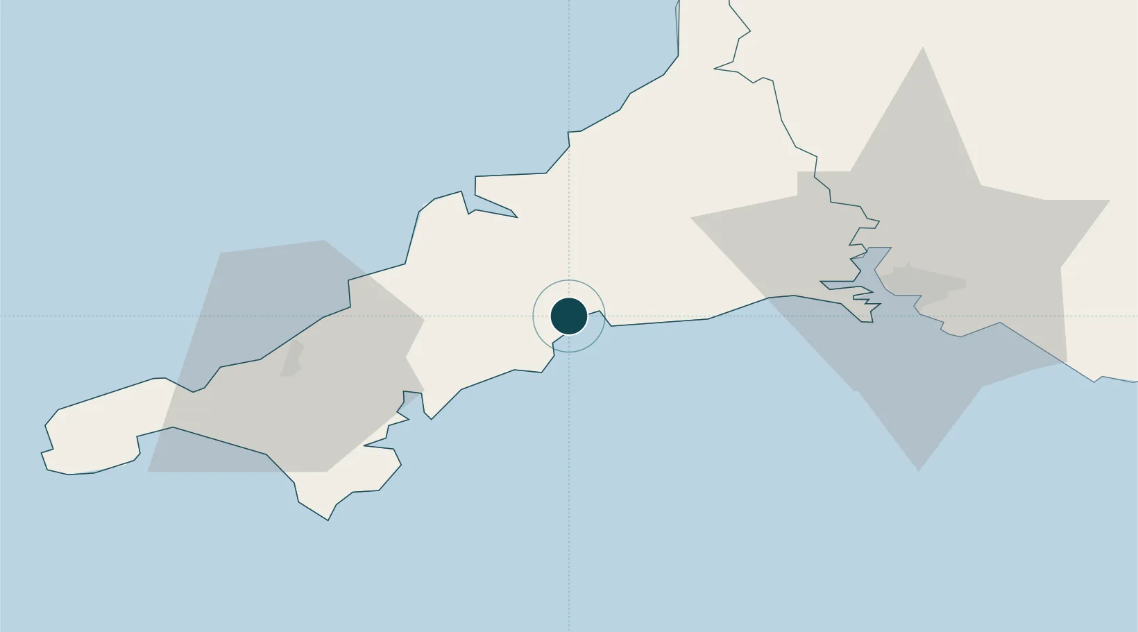
Location
Nearby Logistics Neighbours
Ports
- 1Par4 km
- 2Mevagissey8 km
- 3Fowey Harbour8 km
- 4Padstow27 km
- 5Falmouth Harbour30 km
Cities
- 1Par3 km
- 2Luxulyan6 km
- 3Bugle7 km
- 4Mevagissey8 km
- 5Saint Sampson (Golant)8 km
Airports
- 1Cornwall Airport Newquay21 km
- 2RNAS Culdrose45 km
- 3Penzance Heliport59 km
- 4Land's End Airport70 km
- 5Hartland Point Heliport78 km
Trade Zones
DatabookThe Record of Consolidated Knowledge
United Kingdom beyond logistics?