UN/LOCODE hub · United Kingdom
GBPLP
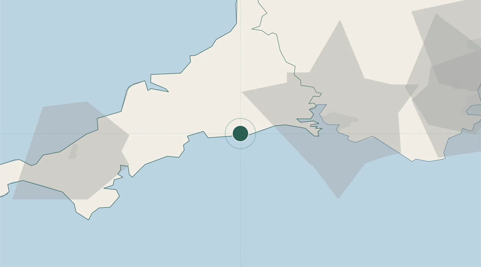
Polperro
50.3333°, -4.5333°
1,206
Population
2
Transport functions
Transport Functions
Port
Road
Hub Profile
Place type
Populated place
Region
England
Population
1,206
Time zone
Europe/London
Elevation
38 m
Location
Nearby Logistics Neighbours
Cities
- 1Looe6 km
- 2Polruan6 km
- 3River Fowey8 km
- 4Saint Sampson (Golant)9 km
- 5Par13 km
Ports
- 1Fowey Harbour7 km
- 2Par12 km
- 3Charlestown15 km
- 4Mevagissey19 km
- 5Plymouth28 km
Airports
- 1Cornwall Airport Newquay35 km
- 2RNAS Culdrose58 km
- 3Penzance Heliport73 km
- 4Hartland Point Heliport76 km
- 5Land's End Airport85 km
Trade Zones
DatabookThe Record of Consolidated Knowledge
United Kingdom beyond logistics?