UN/LOCODE hub · United Kingdom
GBRVF

River Fowey

50.4000°, -4.5833°
1
Transport functions

Transport Functions

Port
UN/LOCODE

Hub Profile

Region
CON
GeoNames

Location

Location of GBRVF
Natural Earth 10m (public domain) · CON · GBRVF · 50.40, -4.58GoogleOSMYandex

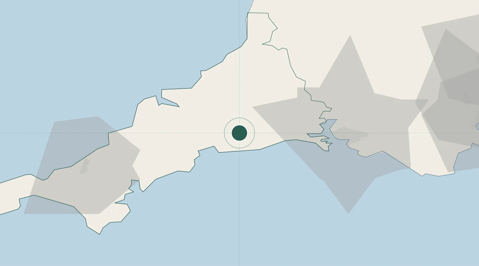
Nearby Logistics Neighbours

Cities
  1. 1Saint Sampson (Golant)6 km
  2. 2Polperro8 km
  3. 3Polruan10 km
  4. 4Liskeard10 km
  5. 5Looe11 km
Nearest neighbours — logibook spatial index (haversine) over the source coordinates
Ports
  1. 1Fowey Harbour8 km
  2. 2Par10 km
  3. 3Charlestown14 km
  4. 4Mevagissey21 km
  5. 5Padstow30 km
Nearest neighbours — logibook spatial index (haversine) over the source coordinates
Airports
  1. 1Cornwall Airport Newquay30 km
  2. 2RNAS Culdrose59 km
  3. 3Hartland Point Heliport69 km
  4. 4Penzance Heliport73 km
  5. 5Royal Marines Base Chivenor82 km
Nearest neighbours — logibook spatial index (haversine) over the source coordinates
Trade Zones
  1. 1Oceansgate Plymouth29 km
  2. 2Cornwall Newquay Aerohub Enterprise Zone30 km
  3. 3Heart of the South West Enterprise Zone35 km
  4. 4Exeter & East Devon Enterprise Zone88 km
  5. 5Dorset Innovation Park167 km
Nearest neighbours — logibook spatial index (haversine) over the source coordinates
DatabookThe Record of Consolidated Knowledge
United Kingdom beyond logistics?
Browse databook

All Sources

LocationsUN/LOCODE
UN/LOCODE — free
Portsthe NGA World Port Index
Public domain (US gov)
AirportsOurAirports
Public domain
Trade Zonesthe World Bank SEZ database
CC BY 4.0
Trade ZonesOpen Zone Map
CC BY
← United Kingdom locations