Channel & Berth Profile
Pilotage, Tugs & Services
Pilotage compulsoryYES
Pilotage availableYES
Potable waterYES
Facilities & Capabilities
Container—
Ro-Ro—
Liquid bulk—
Dry bulk—
Oil terminal—
Break bulk—
Dry dock—
RepairsNO
Bunkering—
Rail link—
Dangerous cargo—
ISPS security—
Harbour Specifications
Harbour size
Very Small
Harbour type
Coastal (Breakwater)
Shelter
Good
Water body
English Channel; North Atlantic Ocean
Tidal range
4 m
Pilotage
Yes
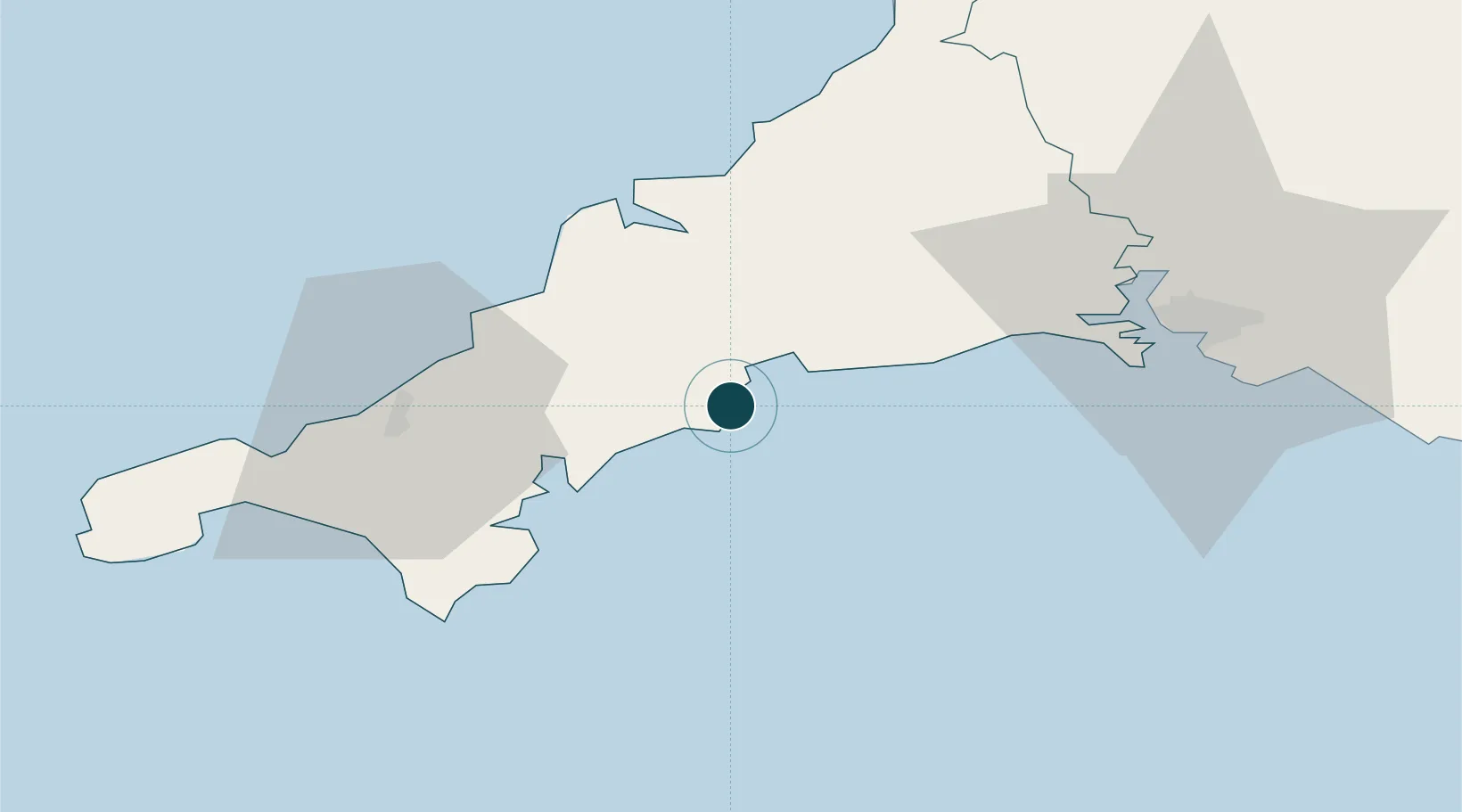
Location
Nearby Logistics Neighbours
Ports
- 1Charlestown8 km
- 2Par11 km
- 3Fowey Harbour13 km
- 4Falmouth Harbour24 km
- 5Padstow33 km
Cities
- 1Gorran Haven4 km
- 2Portloe10 km
- 3Par10 km
- 4Bugle13 km
- 5Polruan13 km
Airports
- 1Cornwall Airport Newquay25 km
- 2RNAS Culdrose39 km
- 3Penzance Heliport54 km
- 4Land's End Airport66 km
- 5Hartland Point Heliport86 km
Trade Zones
DatabookThe Record of Consolidated Knowledge
United Kingdom beyond logistics?