UN/LOCODE hub · United Kingdom
GBSMP

Saint Sampson (Golant)

50.3667°, -4.6500°
3
Transport functions

Transport Functions

Port
Rail
Road
UN/LOCODE

Hub Profile

Region
CON
GeoNames

Location

Location of GBSMP
Natural Earth 10m (public domain) · CON · GBSMP · 50.37, -4.65GoogleOSMYandex

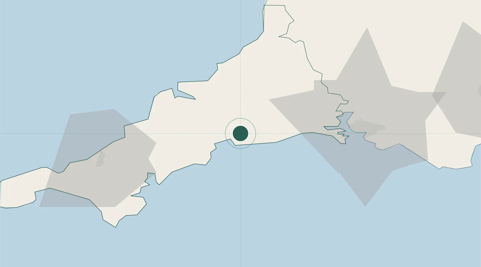
Nearby Logistics Neighbours

Cities
  1. 1Par5 km
  2. 2River Fowey6 km
  3. 3Polruan6 km
  4. 4Luxulyan7 km
  5. 5Polperro9 km
Nearest neighbours — logibook spatial index (haversine) over the source coordinates
Ports
  1. 1Fowey Harbour4 km
  2. 2Par4 km
  3. 3Charlestown8 km
  4. 4Mevagissey15 km
  5. 5Padstow29 km
Nearest neighbours — logibook spatial index (haversine) over the source coordinates
Airports
  1. 1Cornwall Airport Newquay26 km
  2. 2RNAS Culdrose53 km
  3. 3Penzance Heliport67 km
  4. 4Hartland Point Heliport73 km
  5. 5Land's End Airport78 km
Nearest neighbours — logibook spatial index (haversine) over the source coordinates
Trade Zones
  1. 1Cornwall Newquay Aerohub Enterprise Zone26 km
  2. 2Oceansgate Plymouth33 km
  3. 3Heart of the South West Enterprise Zone39 km
  4. 4Exeter & East Devon Enterprise Zone94 km
  5. 5Dorset Innovation Park173 km
Nearest neighbours — logibook spatial index (haversine) over the source coordinates
DatabookThe Record of Consolidated Knowledge
United Kingdom beyond logistics?
Browse databook

All Sources

LocationsUN/LOCODE
UN/LOCODE — free
Portsthe NGA World Port Index
Public domain (US gov)
AirportsOurAirports
Public domain
Trade Zonesthe World Bank SEZ database
CC BY 4.0
Trade ZonesOpen Zone Map
CC BY
← United Kingdom locations