Seaport · United Kingdom
Fowey HarbourGBFOY
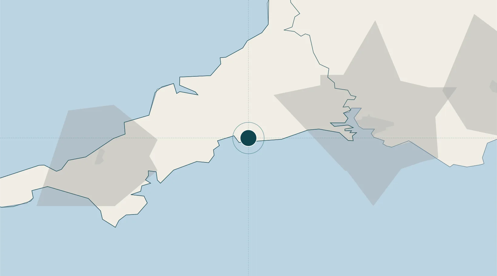
50.3333°, -4.6333°
12.5 m
Channel depth
7.6
Port liner connectivity
Channel & Berth Profile
Pilotage, Tugs & Services
Pilotage compulsoryYES
Pilotage availableYES
Pilotage advisableYES
Tug assistanceYES
Potable waterYES
MedicalYES
Garbage disposalYES
Facilities & Capabilities
Container—
Ro-Ro—
Liquid bulk—
Dry bulk—
Oil terminal—
Break bulk—
Dry dock—
RepairsNO
BunkeringYES
Rail linkYES
Dangerous cargo—
ISPS security—
Harbour Specifications
Harbour size
Small
Harbour type
River (Natural)
Shelter
Excellent
Water body
English Channel; North Atlantic Ocean
Tidal range
6 m
Overhead limit
Yes
Pilotage
Yes
Liner Connectivity
7.6
PLSCI
Port Liner Shipping Connectivity Index for Fowey Harbour, as published by UNCTAD for the latest available quarter. Higher values indicate stronger scheduled liner-shipping integration.
Shown relative to the highest per-port PLSCI in the dataset (1,657.9).
Location
Nearby Logistics Neighbours
Ports
- 1Par5 km
- 2Charlestown8 km
- 3Mevagissey13 km
- 4Padstow32 km
- 5Plymouth35 km
Cities
- 1Polruan2 km
- 2Saint Sampson (Golant)4 km
- 3Par6 km
- 4Polperro7 km
- 5River Fowey8 km
Airports
- 1Cornwall Airport Newquay28 km
- 2RNAS Culdrose52 km
- 3Penzance Heliport67 km
- 4Hartland Point Heliport77 km
- 5Land's End Airport78 km
Trade Zones
DatabookThe Record of Consolidated Knowledge
United Kingdom beyond logistics?