Transport Functions
Port
Rail
Road
Hub Profile
Place type
Populated place
Region
England
Population
5,112
Time zone
Europe/London
Elevation
40 m
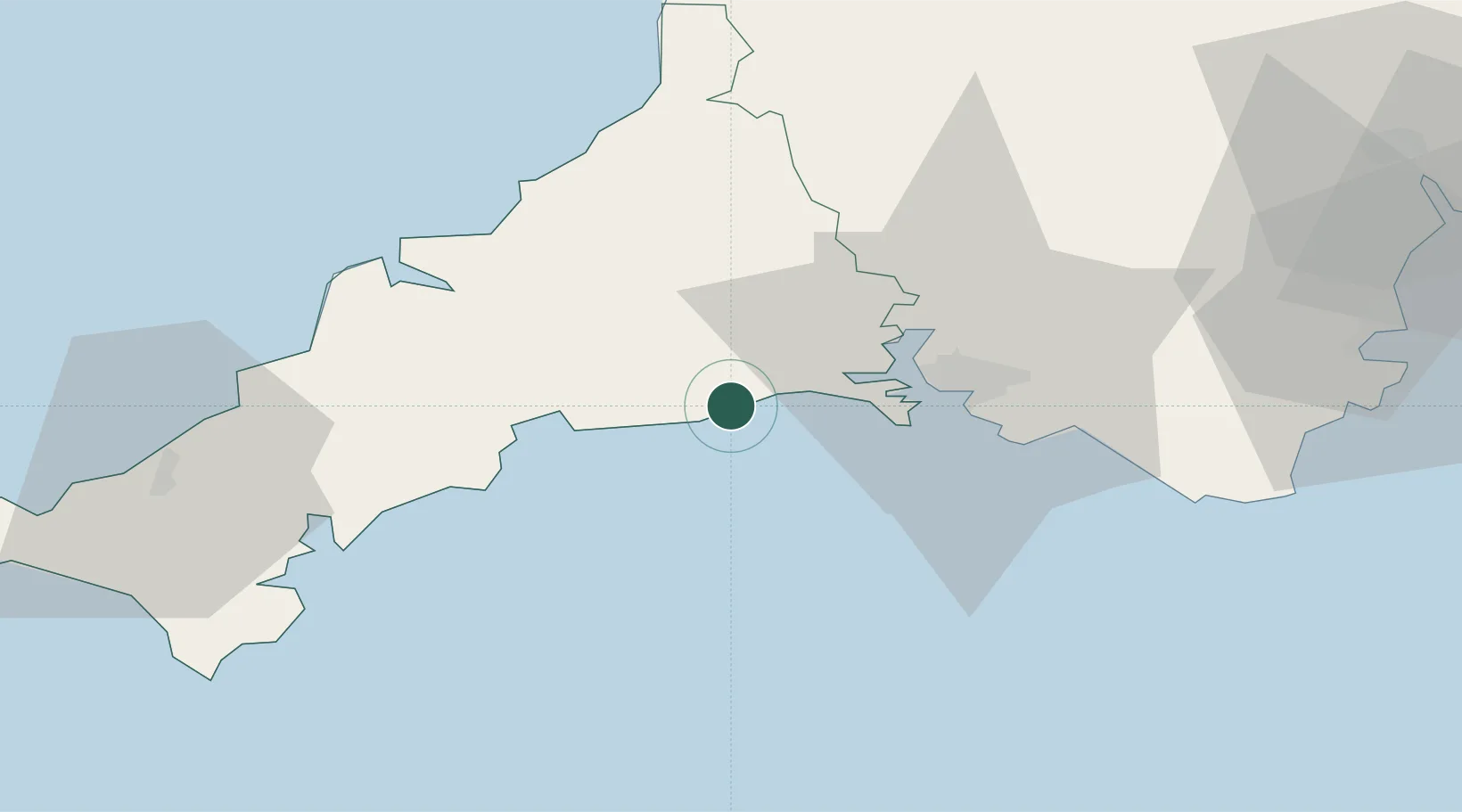
Location
Nearby Logistics Neighbours
Cities
- 1Polperro6 km
- 2Cawsand8 km
- 3River Fowey11 km
- 4Liskeard11 km
- 5Polruan12 km
Ports
- 1Fowey Harbour13 km
- 2Par18 km
- 3Plymouth21 km
- 4Charlestown21 km
- 5Mevagissey25 km
Airports
- 1Cornwall Airport Newquay40 km
- 2RNAS Culdrose64 km
- 3Hartland Point Heliport75 km
- 4Penzance Heliport80 km
- 5Royal Marines Base Chivenor85 km
Trade Zones
DatabookThe Record of Consolidated Knowledge
United Kingdom beyond logistics?