Transport Functions
Port
Hub Profile
Place type
Populated place
Region
England
Time zone
Europe/London
Elevation
20 m
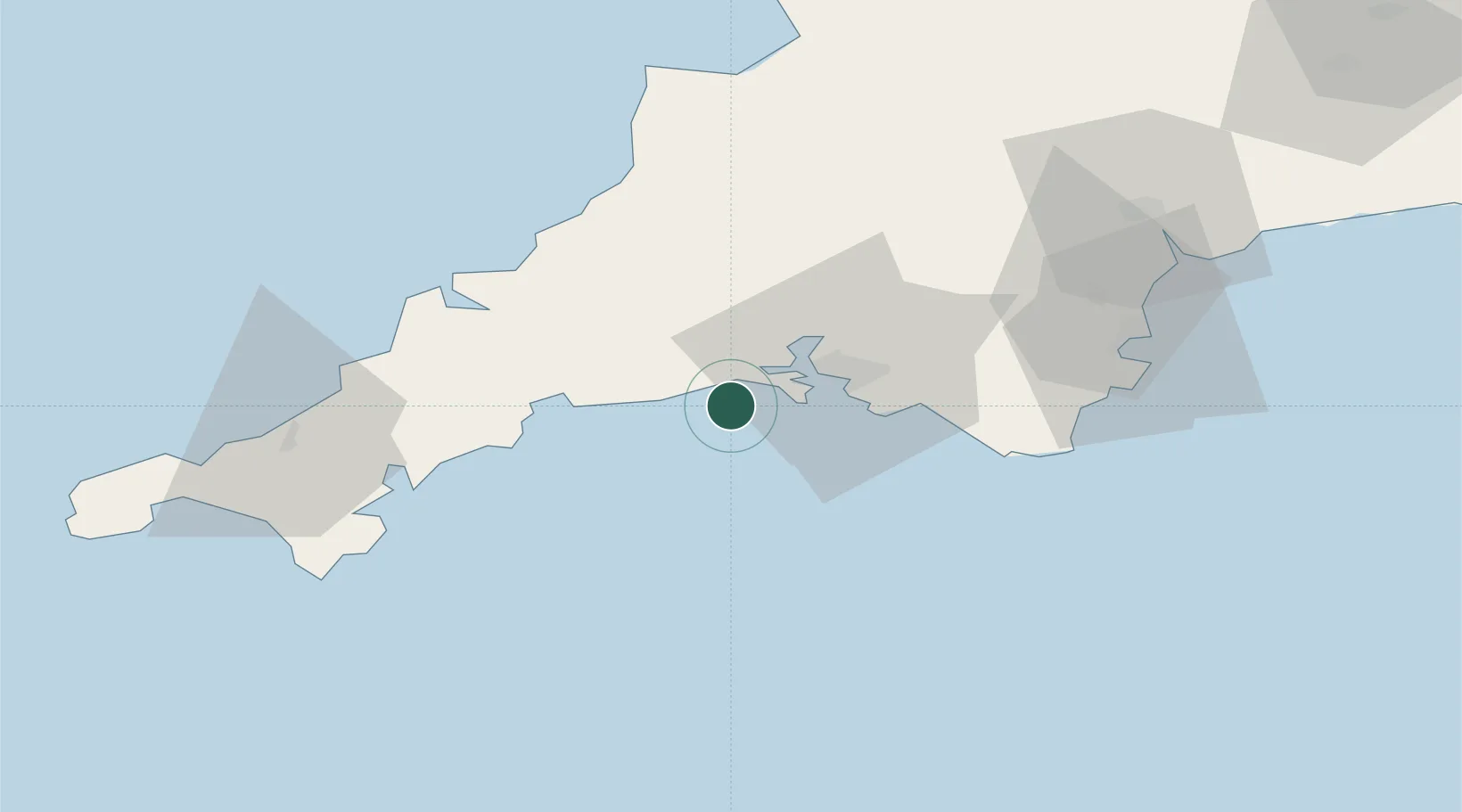
Location
Nearby Logistics Neighbours
Ports
- 1Plymouth15 km
- 2Fowey Harbour20 km
- 3Par25 km
- 4Charlestown29 km
- 5Mevagissey31 km
Airports
- 1Cornwall Airport Newquay48 km
- 2RNAS Culdrose69 km
- 3Hartland Point Heliport79 km
- 4Exeter International Airport81 km
- 5Penzance Heliport85 km
Trade Zones
DatabookThe Record of Consolidated Knowledge
United Kingdom beyond logistics?