Runway & Layout

Airport Specifications
Airport class
Heliport
Scheduled service
Yes
Served city
Lundy Island
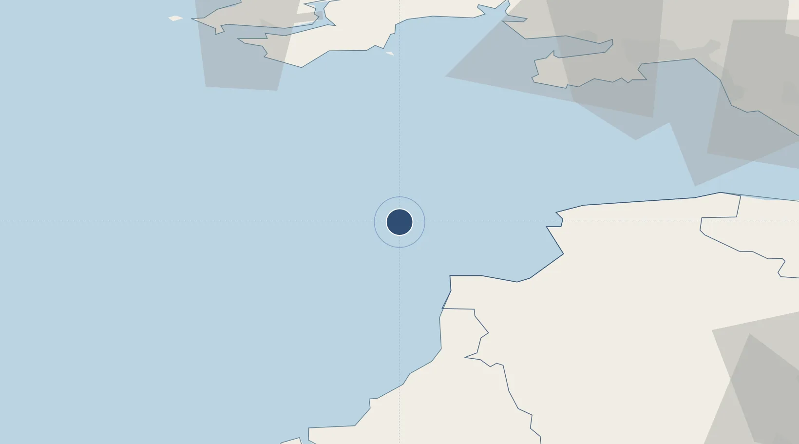
Location
Nearby Logistics Neighbours
Airports
- 1Hartland Point Heliport19 km
- 2Royal Marines Base Chivenor37 km
- 3Swansea Airport64 km
- 4Haverfordwest Airport77 km
- 5Cornwall Airport Newquay84 km
Cities
- 1Buck's Cross26 km
- 2Chillington26 km
- 3Clovelly26 km
- 4Moretonhampstead29 km
- 5Appledore35 km
Ports
- 1Bideford36 km
- 2Milford Haven66 km
- 3Swansea71 km
- 4Padstow71 km
- 5Port Talbot75 km
DatabookThe Record of Consolidated Knowledge
United Kingdom beyond logistics?