Transport Functions
Port
Hub Profile
Place type
Populated place
Region
England
Time zone
Europe/London
Elevation
14 m
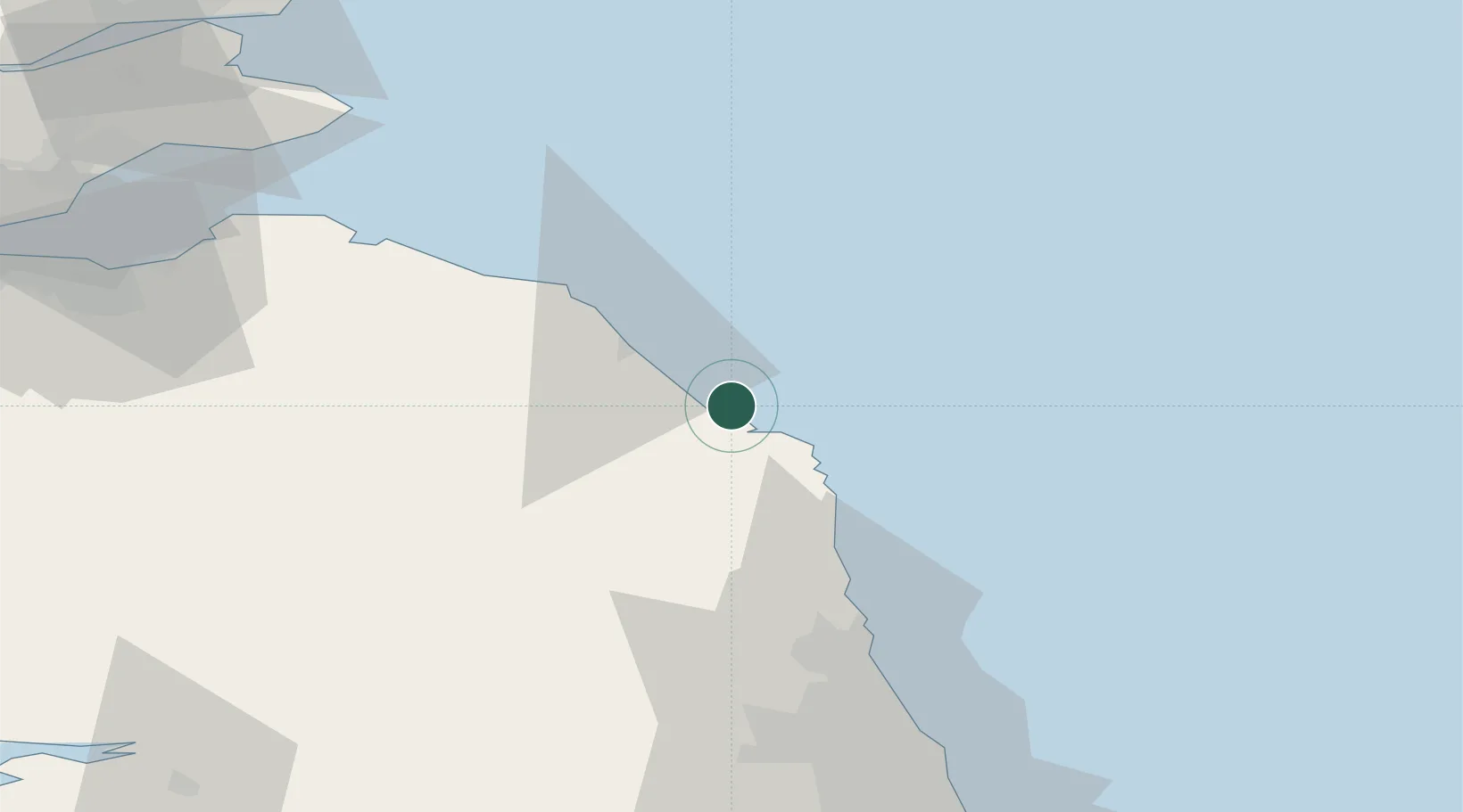
Location
Nearby Logistics Neighbours
Cities
- 1Belford8 km
- 2Seahouses13 km
- 3North Sunderland14 km
- 4Beadnell17 km
- 5Berwick-upon-Tweed18 km
Ports
- 1Berwick-Upon-Tweed17 km
- 2Eyemouth28 km
- 3Warkworth Harbour40 km
- 4Dunbar58 km
- 5Blyth64 km
Airports
- 1Newcastle International Airport70 km
- 2RAF Spadeadam83 km
- 3Leuchars Station Airfield103 km
- 4Edinburgh Airport103 km
- 5Carlisle Lake District Airport103 km
Trade Zones
DatabookThe Record of Consolidated Knowledge
United Kingdom beyond logistics?