Channel & Berth Profile
Pilotage, Tugs & Services
Pilotage compulsoryNO
Pilotage availableNO
Pilotage advisableYES
Local assistanceYES
Potable waterYES
Diesel bunkersYES
Facilities & Capabilities
Container—
Ro-Ro—
Liquid bulk—
Dry bulk—
Oil terminal—
Break bulk—
Dry dock—
RepairsNO
BunkeringYES
Rail linkYES
Dangerous cargo—
ISPS security—
Harbour Specifications
Harbour size
Very Small
Harbour type
River (Natural)
Shelter
Good
Water body
North Sea; North Atlantic Ocean
Tidal range
13 m
Pilotage
No
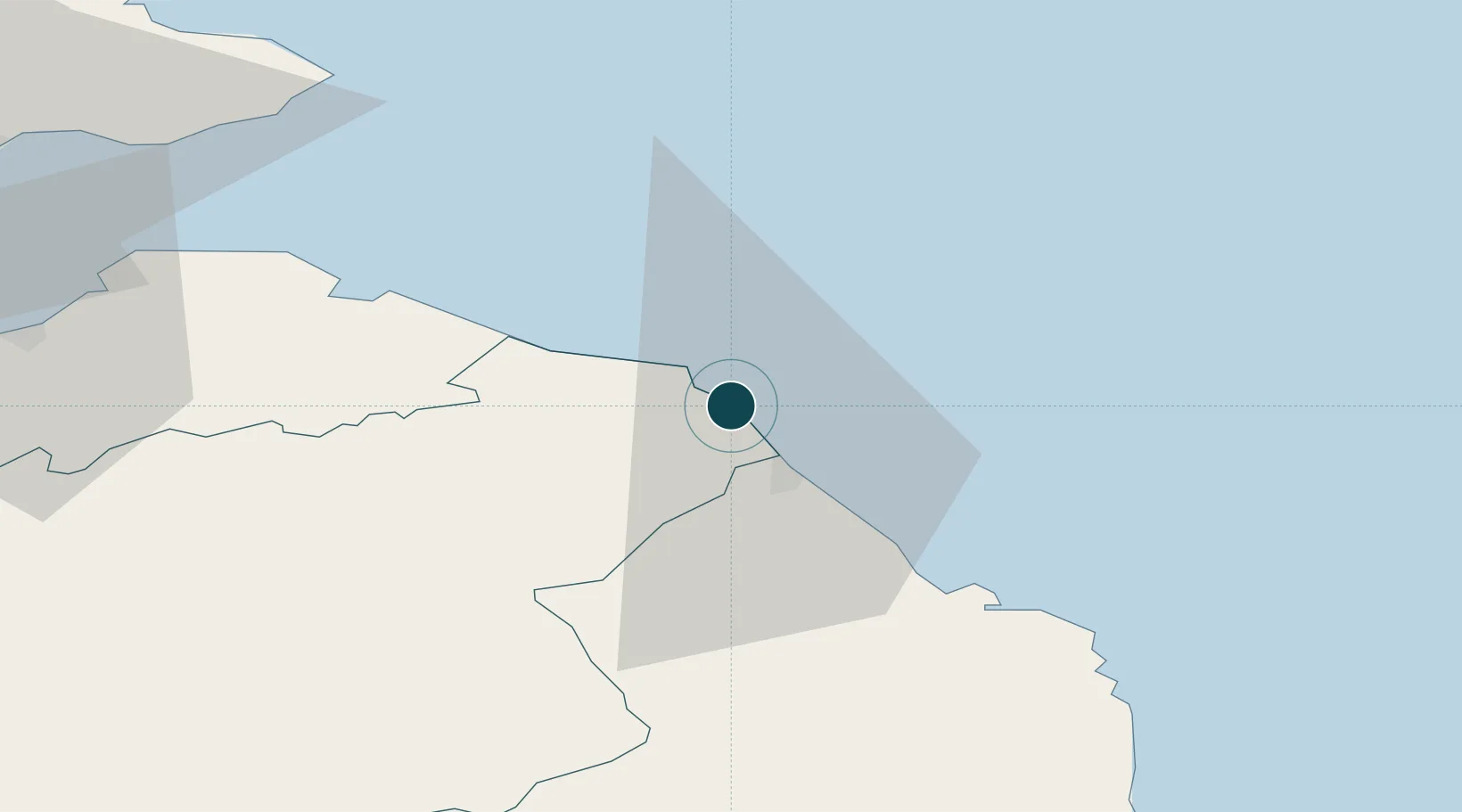
Location
Nearby Logistics Neighbours
Ports
- 1Berwick-Upon-Tweed12 km
- 2Dunbar31 km
- 3Methil67 km
- 4Warkworth Harbour67 km
- 5Leith70 km
Cities
- 1Burnmouth4 km
- 2Saint Abbs5 km
- 3Coldingham6 km
- 4Berwick-upon-Tweed11 km
- 5Milfield14 km
Airports
- 1Leuchars Station Airfield75 km
- 2Edinburgh Airport81 km
- 3Dundee Airport88 km
- 4Newcastle International Airport95 km
- 5RAF Spadeadam96 km
Trade Zones
DatabookThe Record of Consolidated Knowledge
United Kingdom beyond logistics?