UN/LOCODE hub · United Kingdom
GBBWK
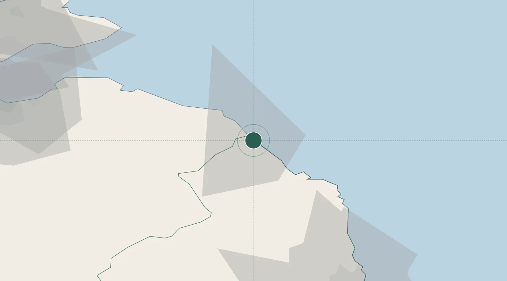
Berwick-upon-Tweed
55.7833°, -2.0000°
13,265
Population
1
Transport functions
Transport Functions
Port
Hub Profile
Place type
Populated place
Region
England
Population
13,265
Time zone
Europe/London
Elevation
8 m
Location
Nearby Logistics Neighbours
Cities
- 1Burnmouth7 km
- 2Eyemouth11 km
- 3Coldingham15 km
- 4Saint Abbs15 km
- 5Holy Island18 km
Ports
- 1Eyemouth11 km
- 2Dunbar40 km
- 3Warkworth Harbour57 km
- 4Methil77 km
- 5Leith77 km
Airports
- 1Leuchars Station Airfield85 km
- 2Newcastle International Airport85 km
- 3Edinburgh Airport88 km
- 4RAF Spadeadam89 km
- 5Dundee Airport98 km
Trade Zones
DatabookThe Record of Consolidated Knowledge
United Kingdom beyond logistics?