Channel & Berth Profile
Pilotage, Tugs & Services
Pilotage compulsoryYES
Pilotage availableYES
Pilotage advisableYES
Shore powerYES
Potable waterYES
Diesel bunkersYES
MedicalYES
Garbage disposalYES
Facilities & Capabilities
Container—
Ro-Ro—
Liquid bulk—
Dry bulk—
Oil terminal—
Break bulk—
Dry dock—
RepairsNO
BunkeringYES
Rail linkYES
Dangerous cargo—
ISPS security—
Harbour Specifications
Harbour size
Very Small
Harbour type
River (Tide Gates)
Shelter
Good
Water body
North Sea; North Atlantic Ocean
Tidal range
4 m
Overhead limit
Yes
Pilotage
Yes
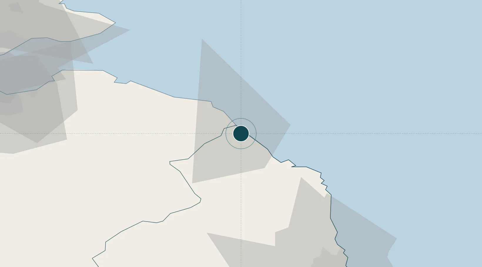
Location
Nearby Logistics Neighbours
Ports
- 1Eyemouth12 km
- 2Dunbar41 km
- 3Warkworth Harbour55 km
- 4Methil78 km
- 5Leith78 km
Cities
- 1Burnmouth9 km
- 2Eyemouth13 km
- 3Coldingham17 km
- 4Holy Island17 km
- 5Saint Abbs17 km
Airports
- 1Newcastle International Airport83 km
- 2Leuchars Station Airfield86 km
- 3RAF Spadeadam87 km
- 4Edinburgh Airport88 km
- 5Dundee Airport99 km
Trade Zones
DatabookThe Record of Consolidated Knowledge
United Kingdom beyond logistics?