Transport Functions
Rail
Road
Hub Profile
Place type
District seat
Region
England
Population
1,258
Time zone
Europe/London
Elevation
56 m
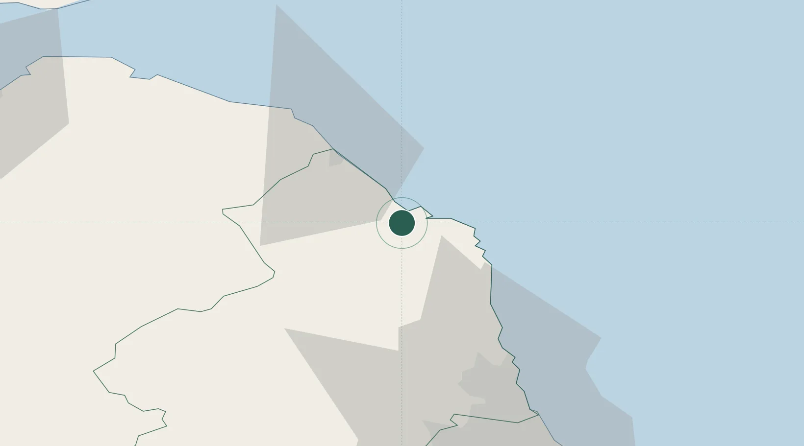
Location
Nearby Logistics Neighbours
Cities
- 1Holy Island8 km
- 2Seahouses11 km
- 3North Sunderland11 km
- 4Beadnell14 km
- 5Newton by the Sea15 km
Ports
- 1Berwick-Upon-Tweed21 km
- 2Eyemouth34 km
- 3Warkworth Harbour34 km
- 4Blyth58 km
- 5Dunbar62 km
Airports
- 1Newcastle International Airport63 km
- 2RAF Spadeadam76 km
- 3Carlisle Lake District Airport96 km
- 4Edinburgh Airport104 km
- 5Leuchars Station Airfield108 km
Trade Zones
DatabookThe Record of Consolidated Knowledge
United Kingdom beyond logistics?