UN/LOCODE hub · United Kingdom
GBNSD
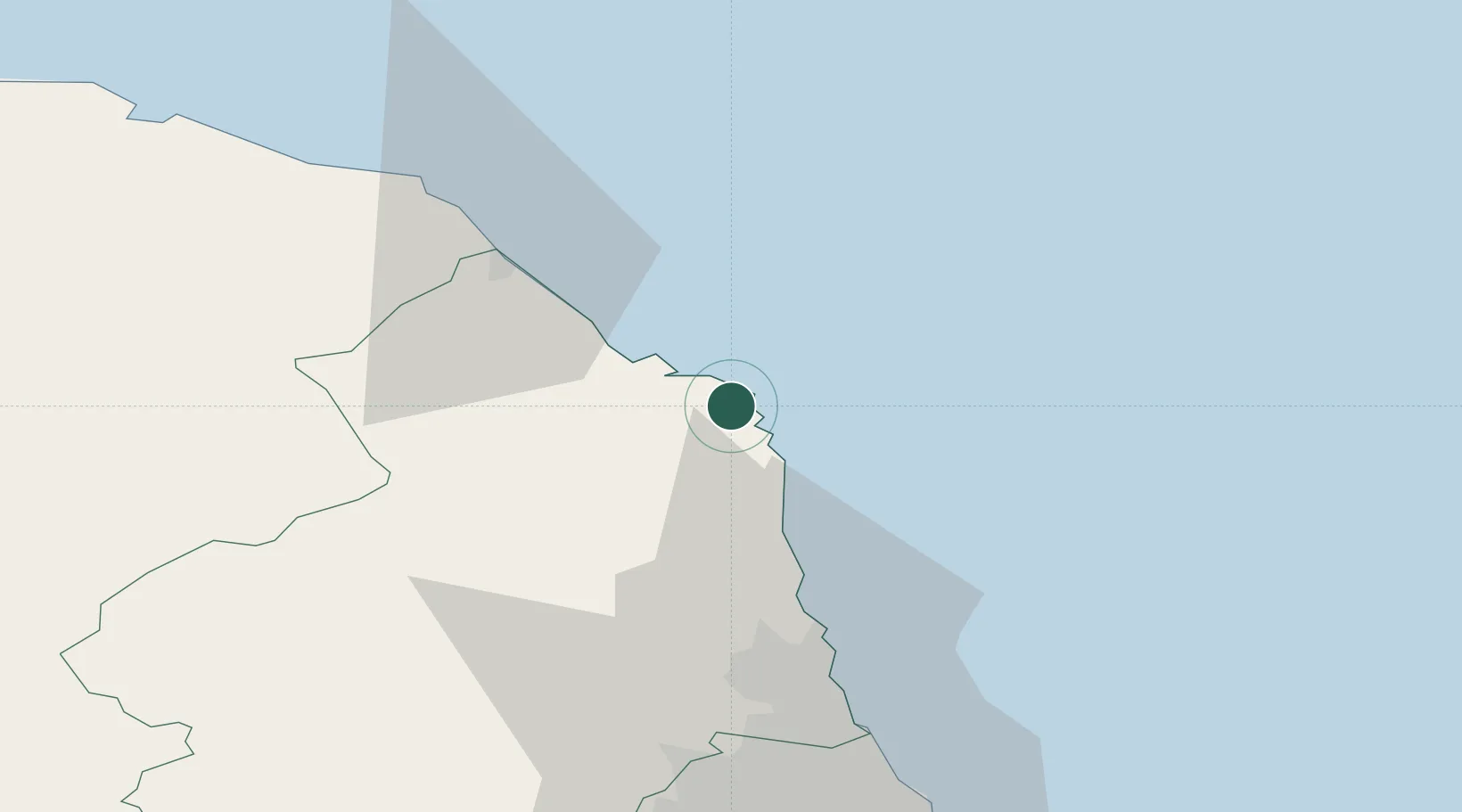
North Sunderland
55.5667°, -1.6667°
1,843
Population
1
Transport functions
Transport Functions
Port
Hub Profile
Place type
Populated place
Region
England
Population
1,843
Time zone
Europe/London
Elevation
20 m
Location
Nearby Logistics Neighbours
Cities
- 1Seahouses2 km
- 2Beadnell3 km
- 3Newton by the Sea7 km
- 4Belford11 km
- 5Craster12 km
Ports
- 1Warkworth Harbour27 km
- 2Berwick-Upon-Tweed31 km
- 3Eyemouth42 km
- 4Blyth51 km
- 5Tynemouth65 km
Airports
- 1Newcastle International Airport59 km
- 2RAF Spadeadam80 km
- 3Carlisle Lake District Airport101 km
- 4Edinburgh Airport115 km
- 5Leuchars Station Airfield117 km
Trade Zones
DatabookThe Record of Consolidated Knowledge
United Kingdom beyond logistics?