UN/LOCODE hub · United Kingdom
GBSHU
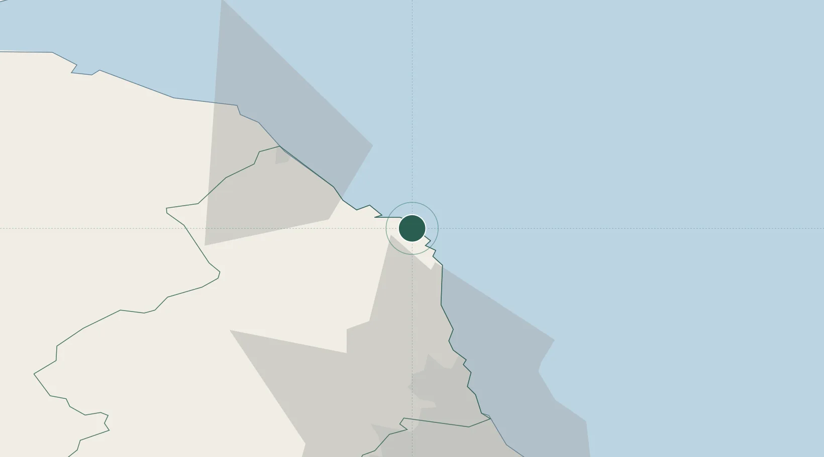
Seahouses
55.5833°, -1.6667°
1,959
Population
2
Transport functions
Transport Functions
Port
Road
Hub Profile
Place type
Populated place
Region
England
Population
1,959
Time zone
Europe/London
Elevation
16 m
Location
Nearby Logistics Neighbours
Cities
- 1North Sunderland2 km
- 2Beadnell4 km
- 3Newton by the Sea9 km
- 4Belford11 km
- 5Holy Island13 km
Ports
- 1Warkworth Harbour28 km
- 2Berwick-Upon-Tweed29 km
- 3Eyemouth41 km
- 4Blyth53 km
- 5Tynemouth67 km
Airports
- 1Newcastle International Airport61 km
- 2RAF Spadeadam82 km
- 3Carlisle Lake District Airport102 km
- 4Edinburgh Airport114 km
- 5Leuchars Station Airfield115 km
Trade Zones
DatabookThe Record of Consolidated Knowledge
United Kingdom beyond logistics?