UN/LOCODE hub · United Kingdom
GBNTF
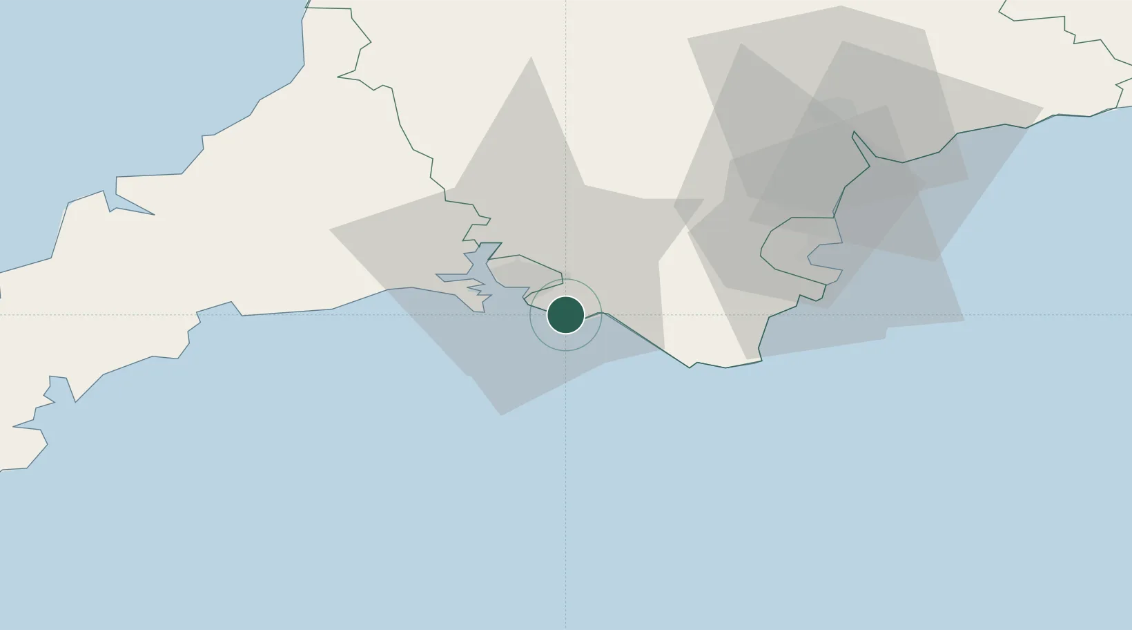
Newton Ferrers
50.3167°, -4.0333°
1,268
Population
2
Transport functions
Transport Functions
Port
Road
Hub Profile
Place type
Populated place
Region
England
Population
1,268
Time zone
Europe/London
Elevation
35 m
Location
Nearby Logistics Neighbours
Cities
- 1Walkhampton4 km
- 2Plympton9 km
- 3Devonport12 km
- 4Torpoint15 km
- 5Plymouth16 km
Ports
- 1Plymouth10 km
- 2Dartmouth Harbour30 km
- 3Brixham Harbour38 km
- 4Torquay Harbour39 km
- 5Fowey Harbour43 km
Airports
- 1Exeter International Airport64 km
- 2Cornwall Airport Newquay70 km
- 3Hartland Point Heliport85 km
- 4Royal Marines Base Chivenor86 km
- 5RNAS Culdrose91 km
Trade Zones
DatabookThe Record of Consolidated Knowledge
United Kingdom beyond logistics?