Transport Functions
Port
Road
Hub Profile
Place type
Populated place
Region
Scotland
Time zone
Europe/London
Elevation
10 m
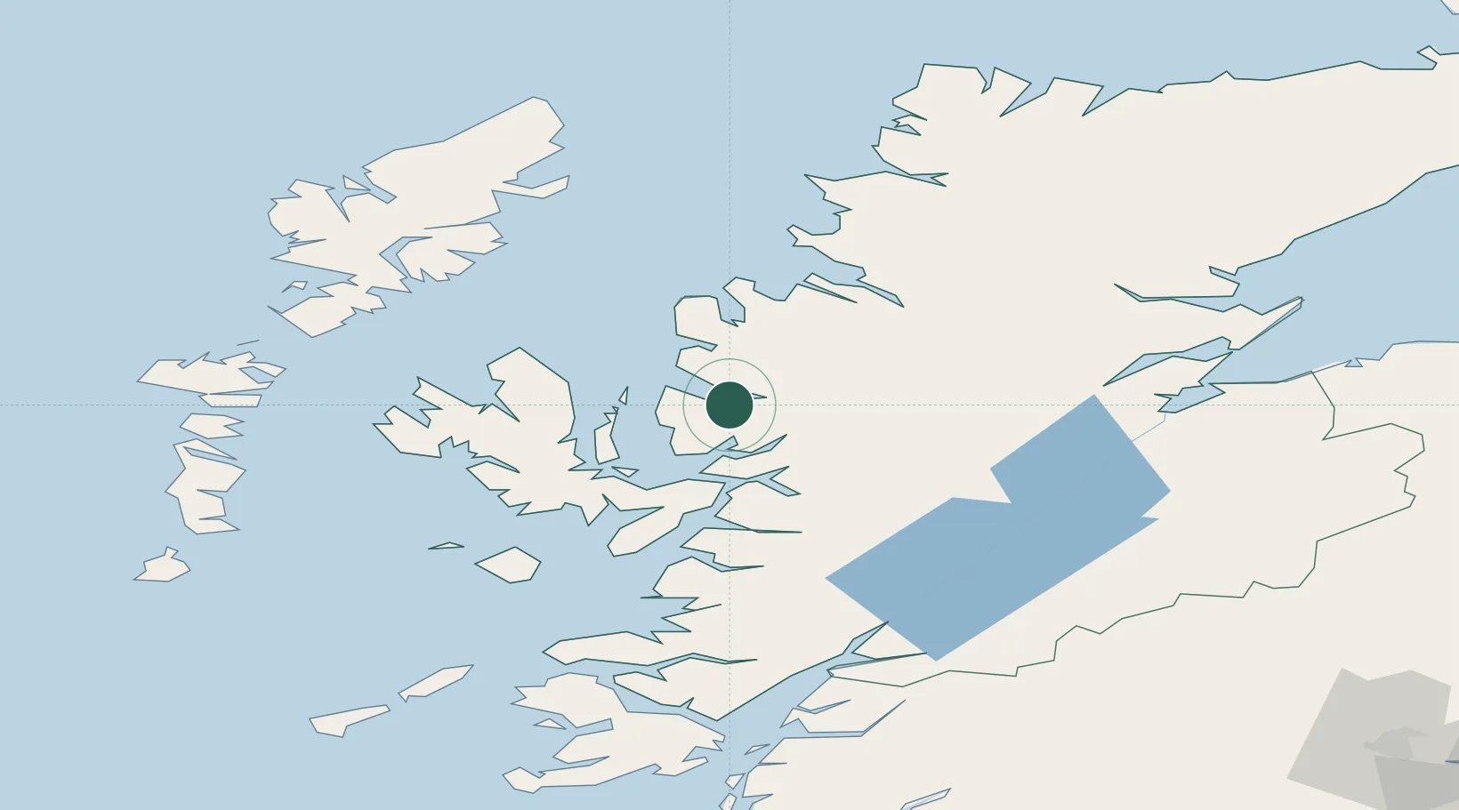
Location
Nearby Logistics Neighbours
Cities
- 1Torridon7 km
- 2Carron13 km
- 3Kishorn13 km
- 4Lochcarron16 km
- 5Strathcarron16 km
Ports
- 1Plockton20 km
- 2Gairloch22 km
- 3Kyle Of Lochalsh26 km
- 4Kyleakin28 km
- 5Broadford Bay33 km
Airports
- 1Stornoway Airport88 km
- 2Inverness Airport95 km
- 3Benbecula Airport103 km
- 4Coll Airport118 km
- 5Oban Airport118 km
Trade Zones
DatabookThe Record of Consolidated Knowledge
United Kingdom beyond logistics?