Channel & Berth Profile
Pilotage, Tugs & Services
Pilotage compulsoryYES
Pilotage advisableYES
Tug assistanceYES
Potable waterYES
Diesel bunkersYES
MedicalYES
Garbage disposalYES
Facilities & Capabilities
Container—
Ro-Ro—
Liquid bulk—
Dry bulk—
Oil terminal—
Break bulk—
Dry dock—
RepairsNO
BunkeringYES
Rail linkYES
Dangerous cargo—
ISPS security—
Harbour Specifications
Harbour size
Very Small
Harbour type
River (Basins)
Shelter
Good
Water body
North Atlantic Ocean
Tidal range
2 m
Overhead limit
Yes
Pilotage
Yes
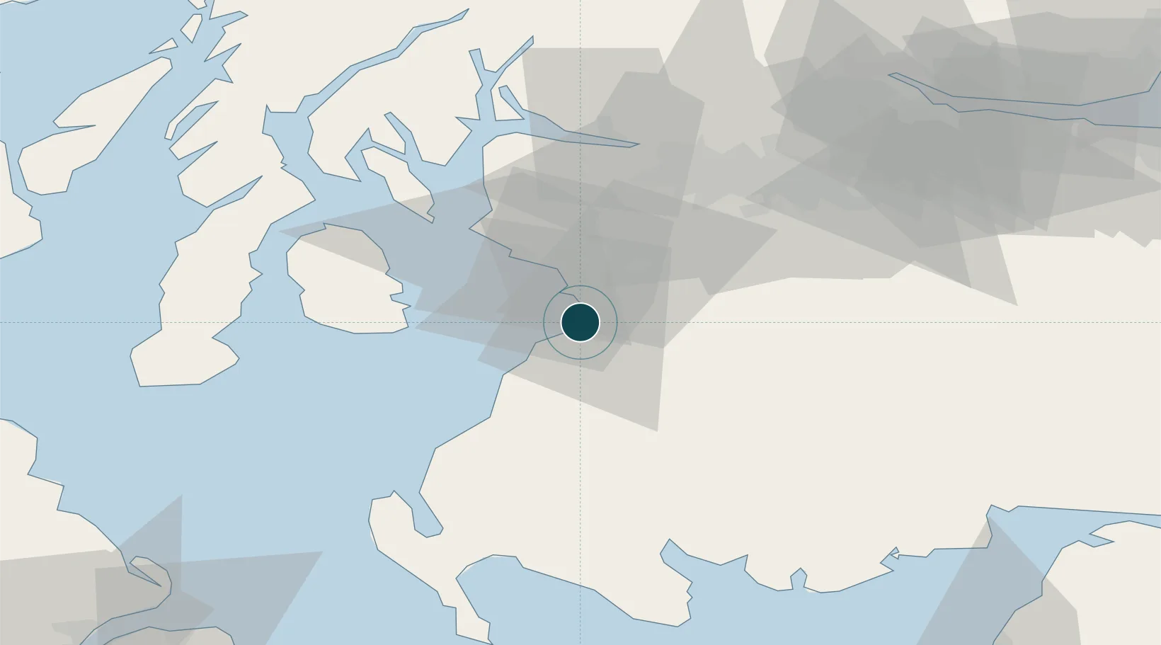
Location
Nearby Logistics Neighbours
Ports
- 1Troon10 km
- 2Ardrossan23 km
- 3Lamlash Harbor31 km
- 4Hunterston35 km
- 5Millport36 km
Cities
- 1Prestwick2 km
- 2Saint Quivox5 km
- 3Monkton6 km
- 4Symington9 km
- 5Troon9 km
Airports
- 1Glasgow Prestwick Airport5 km
- 2Glasgow Airport47 km
- 3Campbeltown Airport67 km
- 4Edinburgh Airport96 km
- 5Islay Airport105 km
Trade Zones
DatabookThe Record of Consolidated Knowledge
United Kingdom beyond logistics?