Channel & Berth Profile
Pilotage, Tugs & Services
Pilotage compulsoryNO
Pilotage availableYES
Pilotage advisableYES
Tug assistanceYES
Potable waterYES
Diesel bunkersYES
MedicalYES
Garbage disposalYES
Facilities & Capabilities
Container—
Ro-Ro—
Liquid bulk—
Dry bulk—
Oil terminal—
Break bulk—
Dry dockNO
RepairsNO
BunkeringYES
Rail linkYES
Dangerous cargo—
ISPS security—
Harbour Specifications
Harbour size
Very Small
Harbour type
Coastal (Breakwater)
Shelter
Fair
Water body
North Atlantic Ocean
Tidal range
3 m
Overhead limit
Yes
Pilotage
No
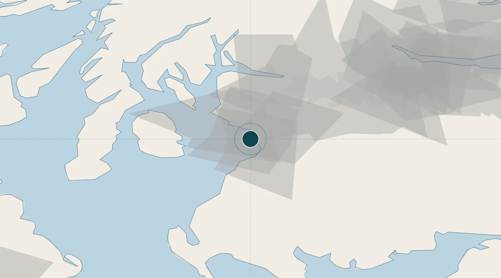
Location
Nearby Logistics Neighbours
Ports
- 1Ayr10 km
- 2Ardrossan14 km
- 3Hunterston26 km
- 4Millport27 km
- 5Lamlash Harbor27 km
Airports
- 1Glasgow Prestwick Airport9 km
- 2Glasgow Airport39 km
- 3Campbeltown Airport64 km
- 4Edinburgh Airport93 km
- 5Islay Airport100 km
Trade Zones
DatabookThe Record of Consolidated Knowledge
United Kingdom beyond logistics?