Transport Functions
Port
Rail
Road
Hub Profile
Place type
Populated place
Region
Scotland
Time zone
Europe/London
Elevation
83 m
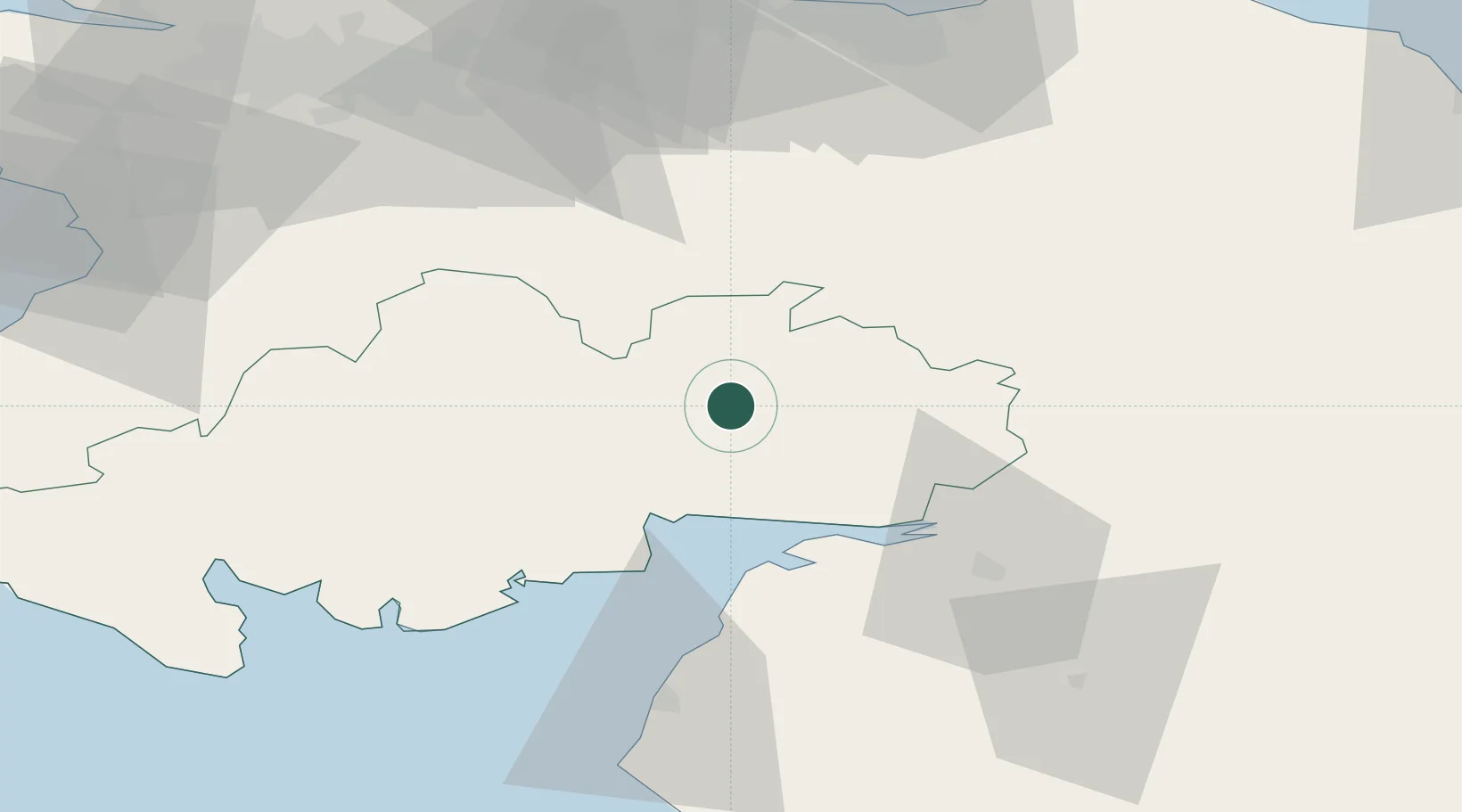
Location
Nearby Logistics Neighbours
Cities
- 1Lockerbie10 km
- 2Parkend17 km
- 3Dumfries20 km
- 4Annan26 km
- 5Gretna Green29 km
Ports
- 1Silloth37 km
- 2Workington72 km
- 3Ayr83 km
- 4Granton88 km
- 5Leith88 km
Airports
- 1Carlisle Lake District Airport49 km
- 2RAF Spadeadam58 km
- 3Glasgow Prestwick Airport81 km
- 4Edinburgh Airport84 km
- 5Glasgow Airport98 km
Trade Zones
DatabookThe Record of Consolidated Knowledge
United Kingdom beyond logistics?