UN/LOCODE hub · United Kingdom
GBHAA

Harraby

54.8833°, -2.9000°
1
Transport functions

Transport Functions

Port
UN/LOCODE

Hub Profile

Place type
Populated place
GeoNames
Region
England
GeoNames
Time zone
Europe/London
GeoNames
Elevation
36 m
GeoNames

Location

Location of GBHAA
Natural Earth 10m (public domain) · England · GBHAA · 54.88, -2.90GoogleOSMYandex

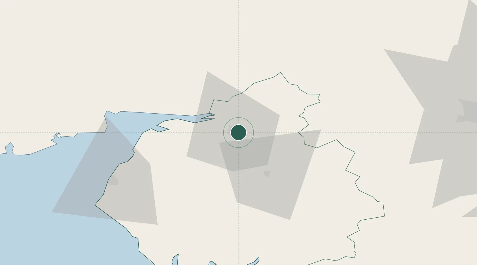
Nearby Logistics Neighbours

Cities
  1. 1Carlisle10 km
  2. 2Gretna17 km
  3. 3Gretna Green20 km
  4. 4Canonbie21 km
  5. 5Annan26 km
Nearest neighbours — logibook spatial index (haversine) over the source coordinates
Ports
  1. 1Silloth32 km
  2. 2Workington59 km
  3. 3Barrow In Furness88 km
  4. 4Lancaster93 km
  5. 5Blyth93 km
Nearest neighbours — logibook spatial index (haversine) over the source coordinates
Airports
  1. 1Carlisle Lake District Airport8 km
  2. 2RAF Spadeadam29 km
  3. 3Newcastle International Airport79 km
  4. 4Barrow Walney Island Airport87 km
  5. 5Teesside International Airport103 km
Nearest neighbours — logibook spatial index (haversine) over the source coordinates
Trade Zones
  1. 1Carlisle Kingmoor Park Enterprise Zone7 km
  2. 2North Eastern Enterprise Zone82 km
  3. 3Tees Valley Enterprise Zone115 km
  4. 4Hillhouse Enterprise Zone123 km
  5. 5Blackpool Enterprise Zone124 km
Nearest neighbours — logibook spatial index (haversine) over the source coordinates
DatabookThe Record of Consolidated Knowledge
United Kingdom beyond logistics?
Browse databook

All Sources

LocationsUN/LOCODE
UN/LOCODE — free
Portsthe NGA World Port Index
Public domain (US gov)
AirportsOurAirports
Public domain
Trade Zonesthe World Bank SEZ database
CC BY 4.0
Trade ZonesOpen Zone Map
CC BY
← United Kingdom locations