Transport Functions
Port
Hub Profile
Place type
Populated place
Region
England
Time zone
Europe/London
Elevation
13 m
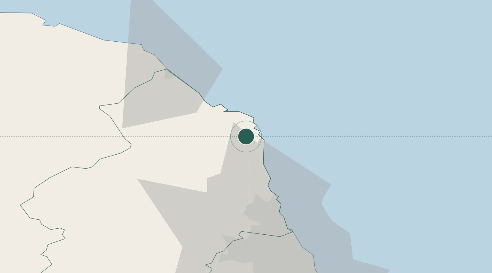
Location
Nearby Logistics Neighbours
Cities
- 1Beadnell6 km
- 2Craster6 km
- 3North Sunderland7 km
- 4Seahouses9 km
- 5Boulmer11 km
Ports
- 1Warkworth Harbour19 km
- 2Berwick-Upon-Tweed36 km
- 3Blyth44 km
- 4Eyemouth48 km
- 5Tynemouth58 km
Airports
- 1Newcastle International Airport51 km
- 2RAF Spadeadam75 km
- 3Carlisle Lake District Airport96 km
- 4Teesside International Airport111 km
- 5Edinburgh Airport118 km
Trade Zones
DatabookThe Record of Consolidated Knowledge
United Kingdom beyond logistics?