Transport Functions
Port
Multimodal
Hub Profile
Place type
Populated place
Region
England
Time zone
Europe/London
Elevation
34 m
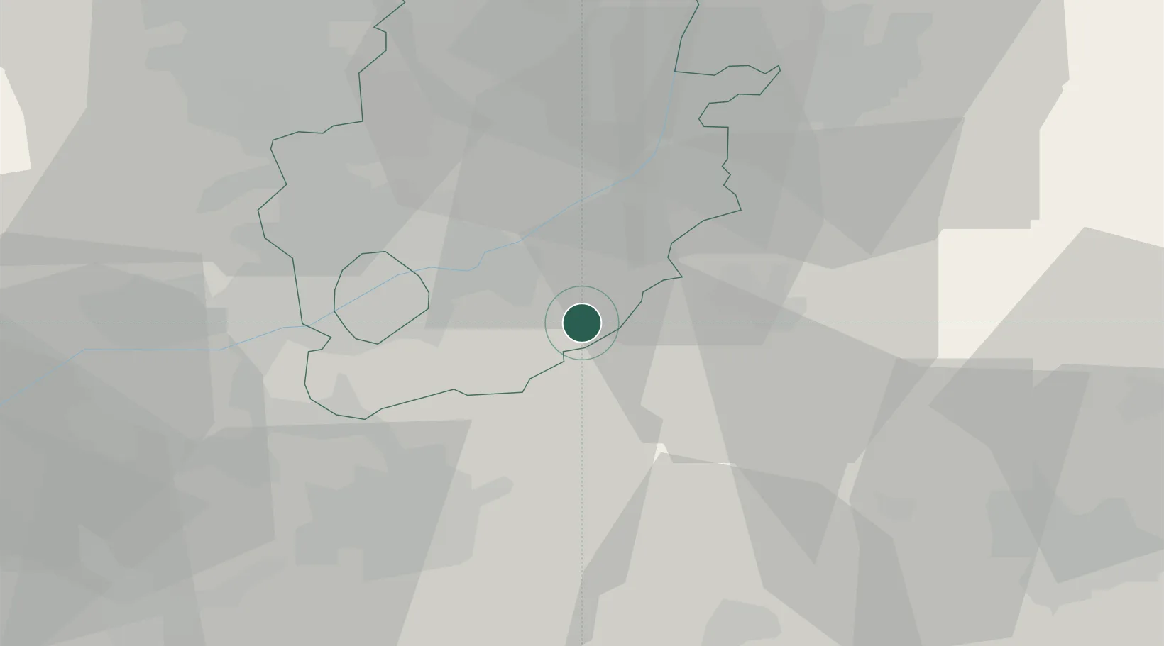
Location
Nearby Logistics Neighbours
Cities
- 1Wells-next-the-Sea7 km
- 2Chadwell12 km
- 3Hoveringham14 km
- 4Nottingham14 km
- 5Cotham14 km
Ports
- 1Boston60 km
- 2Wisbech75 km
- 3King's Lynn89 km
- 4Goole89 km
- 5Howdendyke93 km
Airports
- 1Nottingham City Airport12 km
- 2RAF Barkston Heath24 km
- 3East Midlands Airport30 km
- 4RAF Cranwell31 km
- 5RAF Waddington39 km
Trade Zones
DatabookThe Record of Consolidated Knowledge
United Kingdom beyond logistics?