Specialized Zone · United Kingdom

Mira Technology Park Active
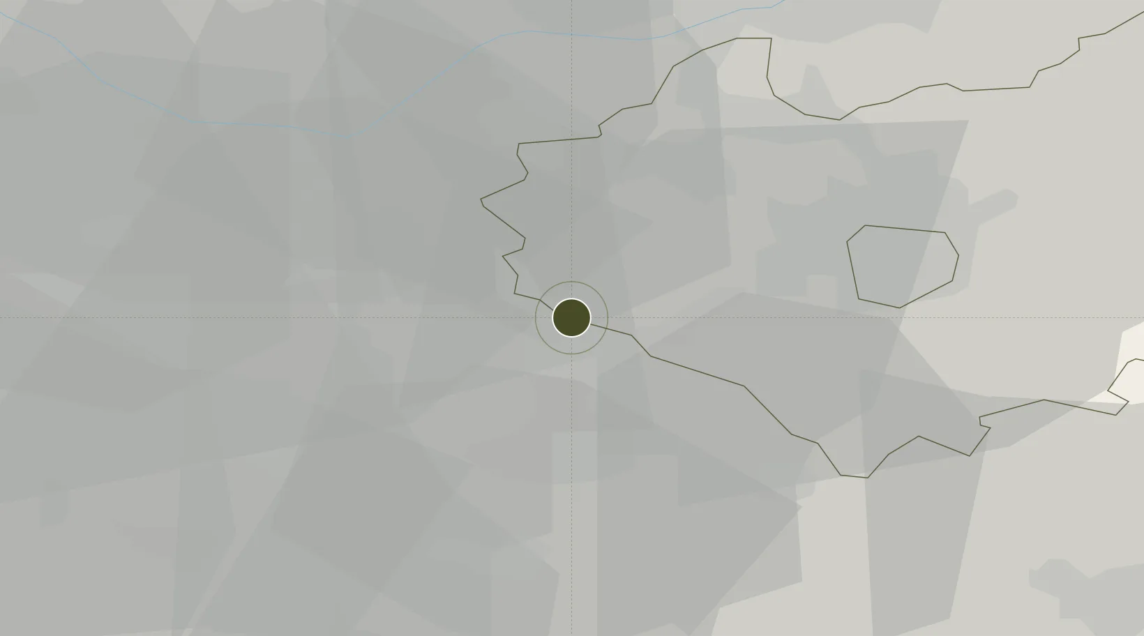
52.5542°, -1.4829°
2 ha
Zone area
108.8 km
Nearest port
20.5 km
Nearest airport

Gateway access

Nearest neighbours — logibook spatial index (haversine) over the source coordinates

Zone profile

Zone type
Specialized Zone
Open Zone Map
Specialization
Tech
Open Zone Map
Region
Leicestershire
Open Zone Map
Status
Active
Open Zone Map
Management
Public-Private Partnership
Open Zone Map
Operator
Coventry and Warwickshire Local Enterprise Partnership
Open Zone Map
Legal framework
Local Government, Planning and Land Act 1980
Open Zone Map

Location

Location of ozm-4717
Natural Earth 10m (public domain) · Leicestershire · ozm-4717 · 52.55, -1.48GoogleOSMYandex

Nearby Logistics Neighbours

Ports
  1. 1Boston109 km
  2. 2Wisbech111 km
  3. 3Sharpness116 km
  4. 4Manchester116 km
  5. 5King's Lynn129 km
Nearest neighbours — logibook spatial index (haversine) over the source coordinates
Airports
  1. 1Coventry Airport21 km
  2. 2Birmingham Airport21 km
  3. 3East Midlands Airport33 km
  4. 4Nottingham City Airport49 km
  5. 5RAF Cosford56 km
Nearest neighbours — logibook spatial index (haversine) over the source coordinates
Cities
  1. 1Mancetter3 km
  2. 2Barnacle10 km
  3. 3Llantarnam13 km
  4. 4Kingsbury14 km
  5. 5Bagworth15 km
Nearest neighbours — logibook spatial index (haversine) over the source coordinates
Trade Zones
  1. 1Loughborough Leicester Enterprise Zone26 km
  2. 2Birmingham City Centre Enterprise Zone30 km
  3. 3Infinity Park Derby Enterprise Zone36 km
  4. 4Black Country Enterprise Zone40 km
  5. 5Nottingham D2N2 Enterprise Zone48 km
Nearest neighbours — logibook spatial index (haversine) over the source coordinates
DatabookThe Record of Consolidated Knowledge
United Kingdom beyond logistics?
Browse databook

All Sources

Trade ZonesOpen Zone Map
CC BY
Portsthe NGA World Port Index
Public domain (US gov)
AirportsOurAirports
Public domain
LocationsUN/LOCODE
UN/LOCODE — free
← United Kingdom trade zones