Seaport · United Kingdom
BostonGBBOS
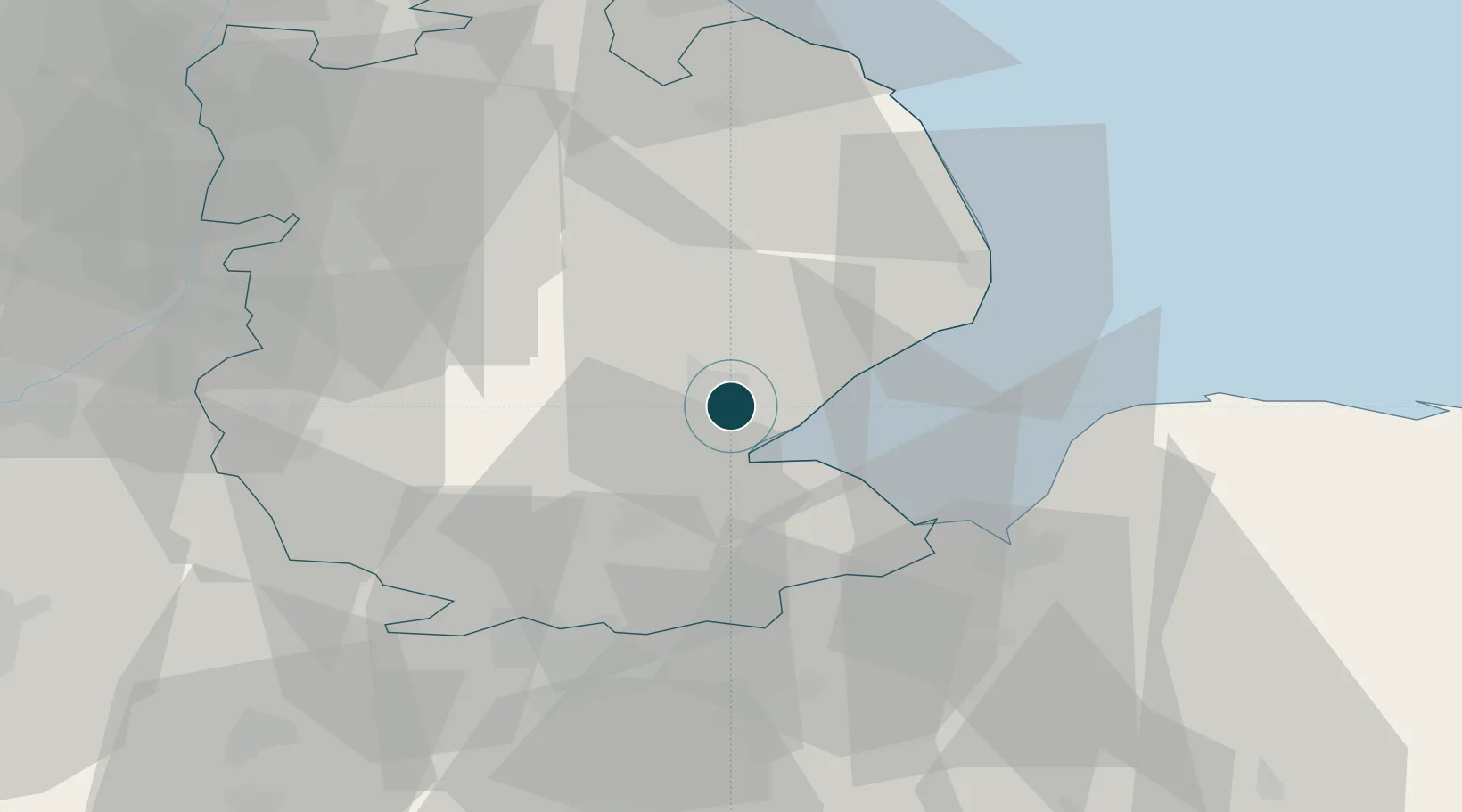
52.9667°, -0.0167°
4.9 m
Channel depth
7.2
Port liner connectivity
Channel & Berth Profile
Pilotage, Tugs & Services
Pilotage compulsoryYES
Pilotage availableYES
Pilotage advisableYES
Local assistanceYES
Tug assistanceYES
Potable waterYES
Diesel bunkersYES
MedicalYES
Garbage disposalYES
Facilities & Capabilities
Container—
Ro-Ro—
Liquid bulk—
Dry bulk—
Oil terminal—
Break bulk—
Dry dock—
RepairsNO
BunkeringYES
Rail linkYES
Dangerous cargo—
ISPS security—
Harbour Specifications
Harbour size
Small
Harbour type
River (Tide Gates)
Shelter
Poor
Water body
North Sea; North Atlantic Ocean
Tidal range
5 m
Overhead limit
Yes
Pilotage
Yes
Liner Connectivity
7.2
PLSCI
Port Liner Shipping Connectivity Index for Boston, as published by UNCTAD for the latest available quarter. Higher values indicate stronger scheduled liner-shipping integration.
Shown relative to the highest per-port PLSCI in the dataset (1,657.9).
Location
Nearby Logistics Neighbours
Ports
- 1Wisbech35 km
- 2King's Lynn37 km
- 3Grimsby69 km
- 4Immingham75 km
- 5New Holland85 km
Cities
- 1Heckington19 km
- 2Wainfleet Bank22 km
- 3Crowland24 km
- 4Sutton Bridge26 km
- 5Ruskington26 km
Airports
- 1RAF Coningsby17 km
- 2RAF Cranwell33 km
- 3RAF Barkston Heath36 km
- 4RAF Waddington41 km
- 5RAF Wittering50 km
Trade Zones
DatabookThe Record of Consolidated Knowledge
United Kingdom beyond logistics?