Transport Functions
Multimodal
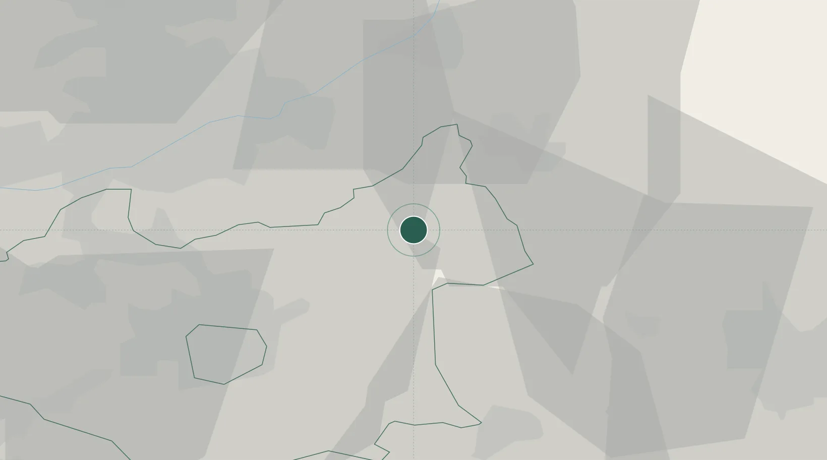
Hub Profile
Place type
Populated place
Region
England
Time zone
Europe/London
Elevation
136 m
Location
Nearby Logistics Neighbours
Cities
- 1Barnstone12 km
- 2Wells-next-the-Sea17 km
- 3Greetham18 km
- 4Tilton on the Hill19 km
- 5Barrow On Soar21 km
Ports
- 1Boston58 km
- 2Wisbech68 km
- 3King's Lynn83 km
- 4Goole100 km
- 5Grimsby101 km
Airports
- 1Nottingham City Airport21 km
- 2RAF Barkston Heath26 km
- 3RAF Wittering32 km
- 4East Midlands Airport33 km
- 5RAF Cranwell34 km
Trade Zones
DatabookThe Record of Consolidated Knowledge
United Kingdom beyond logistics?