Medium airport · United Kingdom

Nottingham City AirportEGBN
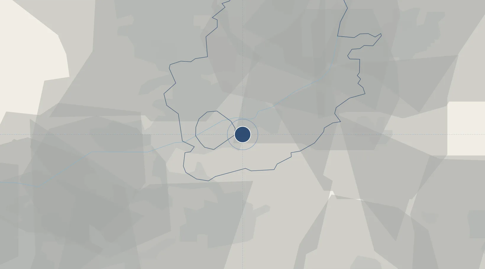
52.9200°, -1.0792°
3,445 ft
Longest runway
2
Runways
138 ft
Elevation

Runway & Layout

Nottingham City Airport runway & taxiway layout
Runway & taxiway layout — OpenStreetMap (ODbL) / OurAirports

Radio Frequencies

A/G
134.875 MHz
A/G VOICE RDO
OurAirports

Navaids

NOT NDB Nottingham 430 kHz
OurAirports

Runways · 2

RunwayDimensions SurfaceTrue headingLit
09/27 3,445 × 98ft Asphalt 088°
03/21 2,693 × 75ft Asphalt 028°
OurAirports

Airport Specifications

IATA code
NQT
OurAirports
ICAO code
EGBN
OurAirports
Airport class
Medium airport
OurAirports
Scheduled service
No
OurAirports
Runway surface
Asphalt
OurAirports
Served city
Nottingham, Nottinghamshire
OurAirports

Location

Location of EGBN
Natural Earth 10m (public domain) · Nottinghamshire · EGBN · 52.92, -1.08GoogleOSMYandex

Nearby Logistics Neighbours

Airports
  1. 1East Midlands Airport19 km
  2. 2RAF Barkston Heath35 km
  3. 3RAF Cranwell41 km
  4. 4RAF Waddington46 km
  5. 5RAF Wittering53 km
Nearest neighbours — logibook spatial index (haversine) over the source coordinates
Cities
  1. 1Nottingham4 km
  2. 2Ruddington6 km
  3. 3Oadby9 km
  4. 4Arnold9 km
  5. 5Barnstone12 km
Nearest neighbours — logibook spatial index (haversine) over the source coordinates
Ports
  1. 1Boston71 km
  2. 2Wisbech87 km
  3. 3Goole88 km
  4. 4Howdendyke91 km
  5. 5Immingham99 km
Nearest neighbours — logibook spatial index (haversine) over the source coordinates
Trade Zones
  1. 1Nottingham D2N2 Enterprise Zone6 km
  2. 2Infinity Park Derby Enterprise Zone27 km
  3. 3Loughborough Leicester Enterprise Zone32 km
  4. 4Mira Technology Park49 km
  5. 5Sheffield City Region Enterprise Zone58 km
Nearest neighbours — logibook spatial index (haversine) over the source coordinates
DatabookThe Record of Consolidated Knowledge
United Kingdom beyond logistics?
Browse databook

All Sources

AirportsOurAirports
Public domain
Portsthe NGA World Port Index
Public domain (US gov)
LocationsUN/LOCODE
UN/LOCODE — free
Trade Zonesthe World Bank SEZ database
CC BY 4.0
Trade ZonesOpen Zone Map
CC BY
InfrastructureOpenStreetMap
ODbL 1.0
← United Kingdom airports