UN/LOCODE hub · United Kingdom
GBWNS
Wells-next-the-Sea
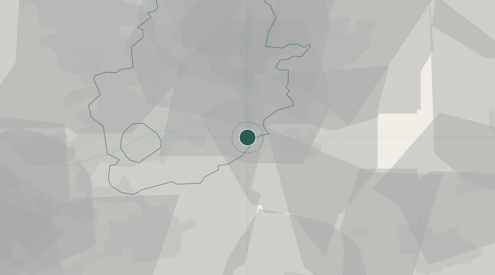
52.9500°, -0.8333°
2,165
Population
2
Transport functions
Transport Functions
Port
Road
Hub Profile
Place type
Populated place
Region
England
Population
2,165
Time zone
Europe/London
Elevation
8 m
Location
Nearby Logistics Neighbours
Cities
- 1Barnstone7 km
- 2Cotham8 km
- 3Hoveringham12 km
- 4Chadwell17 km
- 5Nottingham17 km
Ports
- 1Boston55 km
- 2Wisbech73 km
- 3Goole83 km
- 4King's Lynn86 km
- 5Immingham87 km
Airports
- 1Nottingham City Airport17 km
- 2RAF Barkston Heath18 km
- 3RAF Cranwell24 km
- 4RAF Waddington32 km
- 5East Midlands Airport36 km
Trade Zones
DatabookThe Record of Consolidated Knowledge
United Kingdom beyond logistics?