Transport Functions
Rail
Road
Hub Profile
Place type
Populated place
Region
England
Time zone
Europe/London
Elevation
22 m
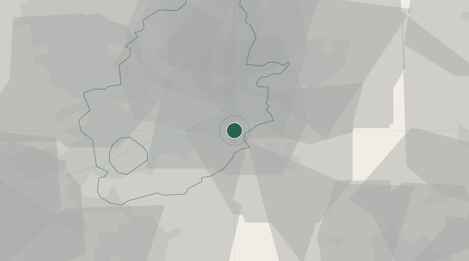
Location
Nearby Logistics Neighbours
Cities
- 1Wells-next-the-Sea8 km
- 2Hoveringham10 km
- 3Barnstone14 km
- 4Leadenham16 km
- 5Bassingham17 km
Ports
- 1Boston54 km
- 2Wisbech76 km
- 3Goole76 km
- 4Howdendyke80 km
- 5Immingham80 km
Airports
- 1RAF Barkston Heath18 km
- 2Nottingham City Airport21 km
- 3RAF Cranwell22 km
- 4RAF Waddington26 km
- 5East Midlands Airport40 km
Trade Zones
DatabookThe Record of Consolidated Knowledge
United Kingdom beyond logistics?