Medium airport · United Kingdom
RAF WaddingtonEGXW
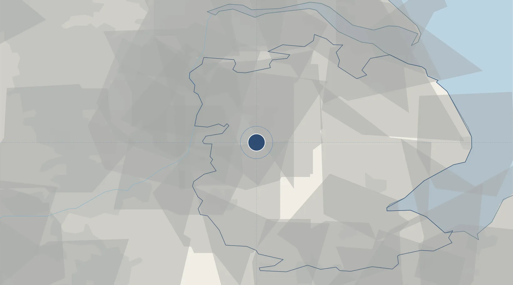
53.1662°, -0.5238°
9,642 ft
Longest runway
1
Runways
231 ft
Elevation
Runway & Layout

Radio Frequencies
ATIS
29.167 MHz
TWR
256.67 MHz
GND
342.12 MHz
APP
250.85 MHz
DEP
123.3 MHz
CAC
27.777 MHz
MISC
127.35 MHz
ZONE
OPS
386.625 MHz
Navaids
WAD TACAN Waddington 117.10 MHz
Runways · 1
| Runway | Dimensions | Surface | True heading | Lit |
|---|---|---|---|---|
| 02/20 | 9,642 × 198ft | Asphalt | 022° | ✓ |
Airport Specifications
IATA code
WTN
ICAO code
EGXW
Airport class
Medium airport
Scheduled service
No
Runway surface
Asphalt
Served city
Lincoln, Lincolnshire
Location
Nearby Logistics Neighbours
Airports
- 1RAF Cranwell16 km
- 2RAF Barkston Heath23 km
- 3RAF Coningsby25 km
- 4Nottingham City Airport46 km
- 5Humberside Airport47 km
Cities
- 1Birchwood9 km
- 2Bassingham9 km
- 3Metheringham12 km
- 4Mangotsfield12 km
- 5Leadenham14 km
Ports
- 1Boston41 km
- 2Grimsby55 km
- 3Immingham56 km
- 4New Holland60 km
- 5Goole63 km
Trade Zones
DatabookThe Record of Consolidated Knowledge
United Kingdom beyond logistics?