UN/LOCODE hub · United Kingdom
GBHVM
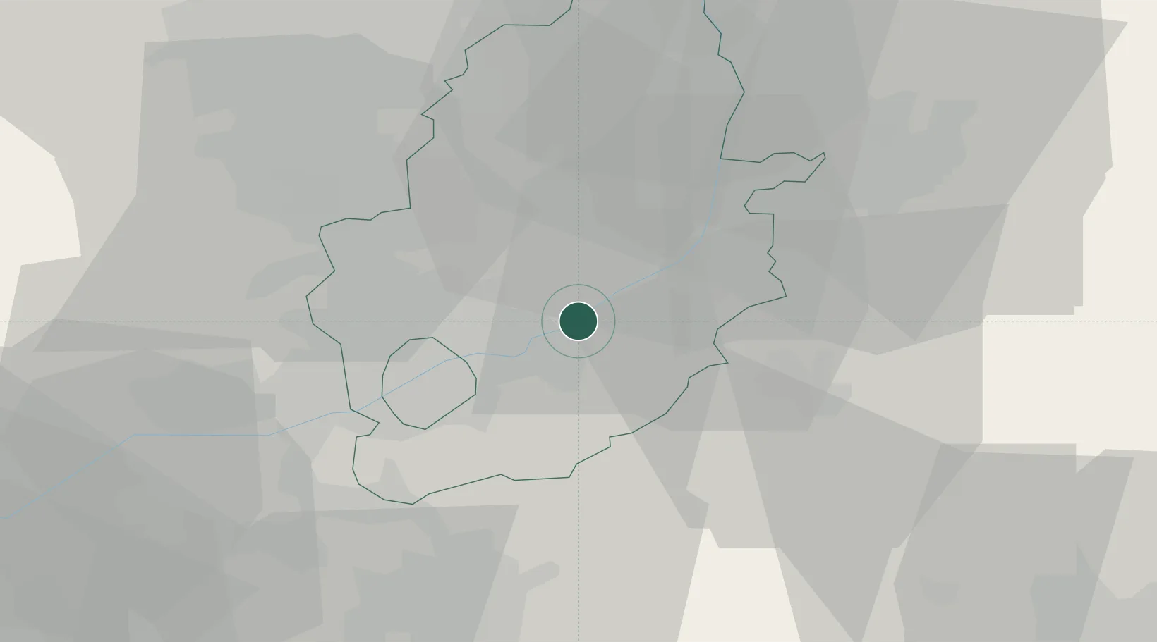
Hoveringham
53.0167°, -0.9667°
359
Population
2
Transport functions
Transport Functions
Road
Multimodal
Hub Profile
Place type
Populated place
Region
England
Population
359
Time zone
Europe/London
Elevation
21 m
Location
Nearby Logistics Neighbours
Cities
- 1Cotham10 km
- 2Arnold10 km
- 3Nottingham11 km
- 4Wells-next-the-Sea12 km
- 5Oadby13 km
Ports
- 1Boston64 km
- 2Goole77 km
- 3Howdendyke80 km
- 4Wisbech85 km
- 5Immingham85 km
Airports
- 1Nottingham City Airport13 km
- 2RAF Barkston Heath28 km
- 3RAF Cranwell32 km
- 4East Midlands Airport32 km
- 5RAF Waddington34 km
Trade Zones
DatabookThe Record of Consolidated Knowledge
United Kingdom beyond logistics?