Channel & Berth Profile
Pilotage, Tugs & Services
Pilotage compulsoryYES
Pilotage availableYES
Pilotage advisableYES
Tug assistanceYES
Shore powerYES
Potable waterYES
Diesel bunkersYES
MedicalYES
Garbage disposalYES
Facilities & Capabilities
Container—
Ro-Ro—
Liquid bulk—
Dry bulk—
Oil terminal—
Break bulk—
Dry dock—
RepairsNO
BunkeringYES
Rail linkYES
Dangerous cargo—
ISPS security—
Harbour Specifications
Harbour size
Small
Harbour type
River (Tide Gates)
Shelter
Excellent
Water body
North Sea; North Atlantic Ocean
Tidal range
4 m
Overhead limit
Yes
Pilotage
Yes
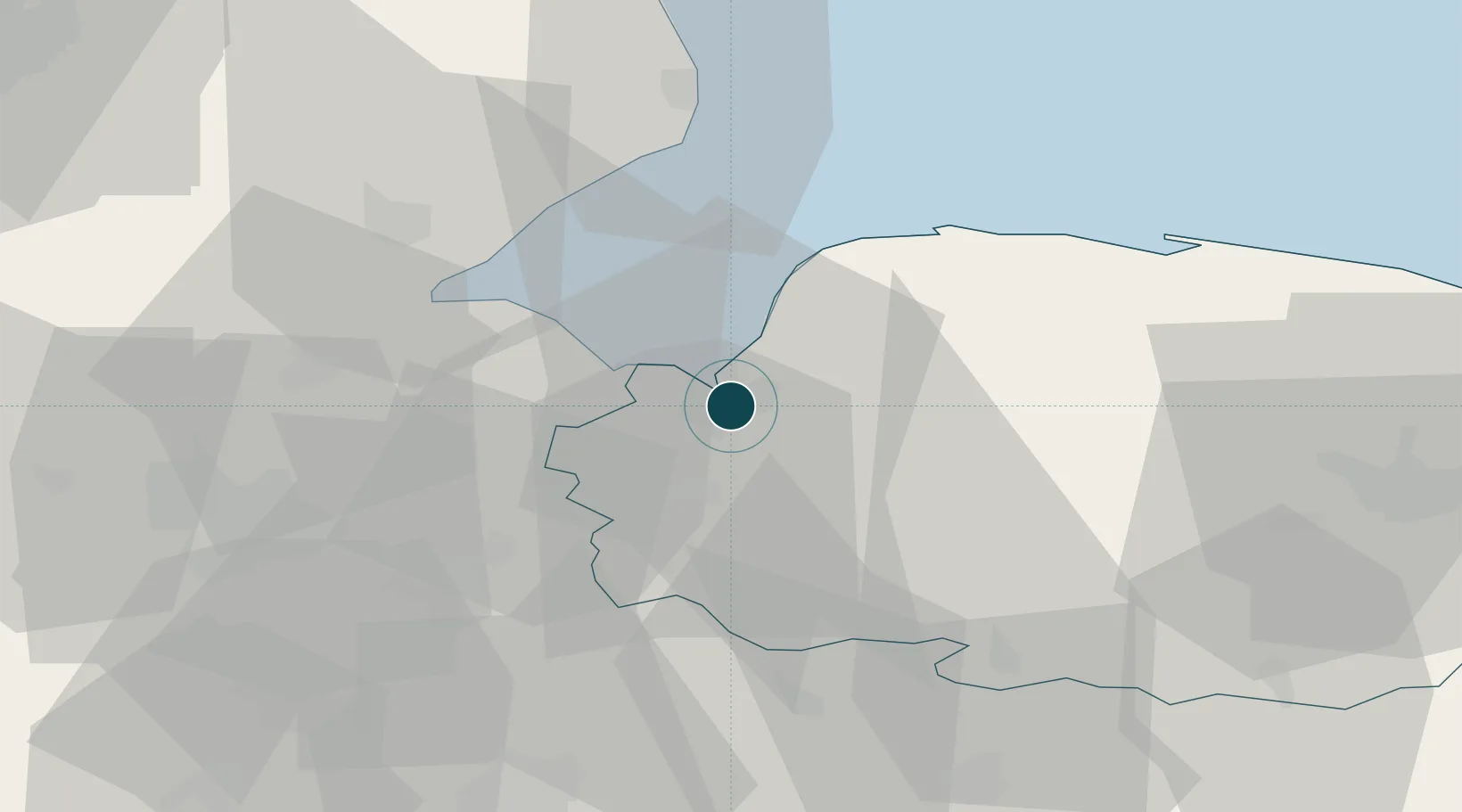
Location
Nearby Logistics Neighbours
Ports
- 1Wisbech19 km
- 2Boston37 km
- 3Great Yarmouth91 km
- 4Ipswich94 km
- 5Lowestoft96 km
Cities
- 1Dersingham11 km
- 2Stowbridge13 km
- 3Sutton Bridge15 km
- 4Marshland Saint James16 km
- 5Great Massingham18 km
Airports
- 1RAF Marham15 km
- 2RAF Lakenheath39 km
- 3RAF Mildenhall44 km
- 4RAF Honington52 km
- 5RAF Coningsby54 km
Trade Zones
DatabookThe Record of Consolidated Knowledge
United Kingdom beyond logistics?