Channel & Berth Profile
Pilotage, Tugs & Services
Pilotage compulsoryYES
Pilotage availableYES
Tug assistanceYES
Potable waterYES
Diesel bunkersYES
Garbage disposalYES
Facilities & Capabilities
Container—
Ro-Ro—
Liquid bulk—
Dry bulk—
Oil terminal—
Break bulk—
Dry dock—
RepairsNO
BunkeringYES
Rail link—
Dangerous cargo—
ISPS security—
Harbour Specifications
Harbour size
Very Small
Harbour type
River (Natural)
Shelter
Fair
Water body
North Sea; North Atlantic Ocean
Overhead limit
Yes
Pilotage
Yes
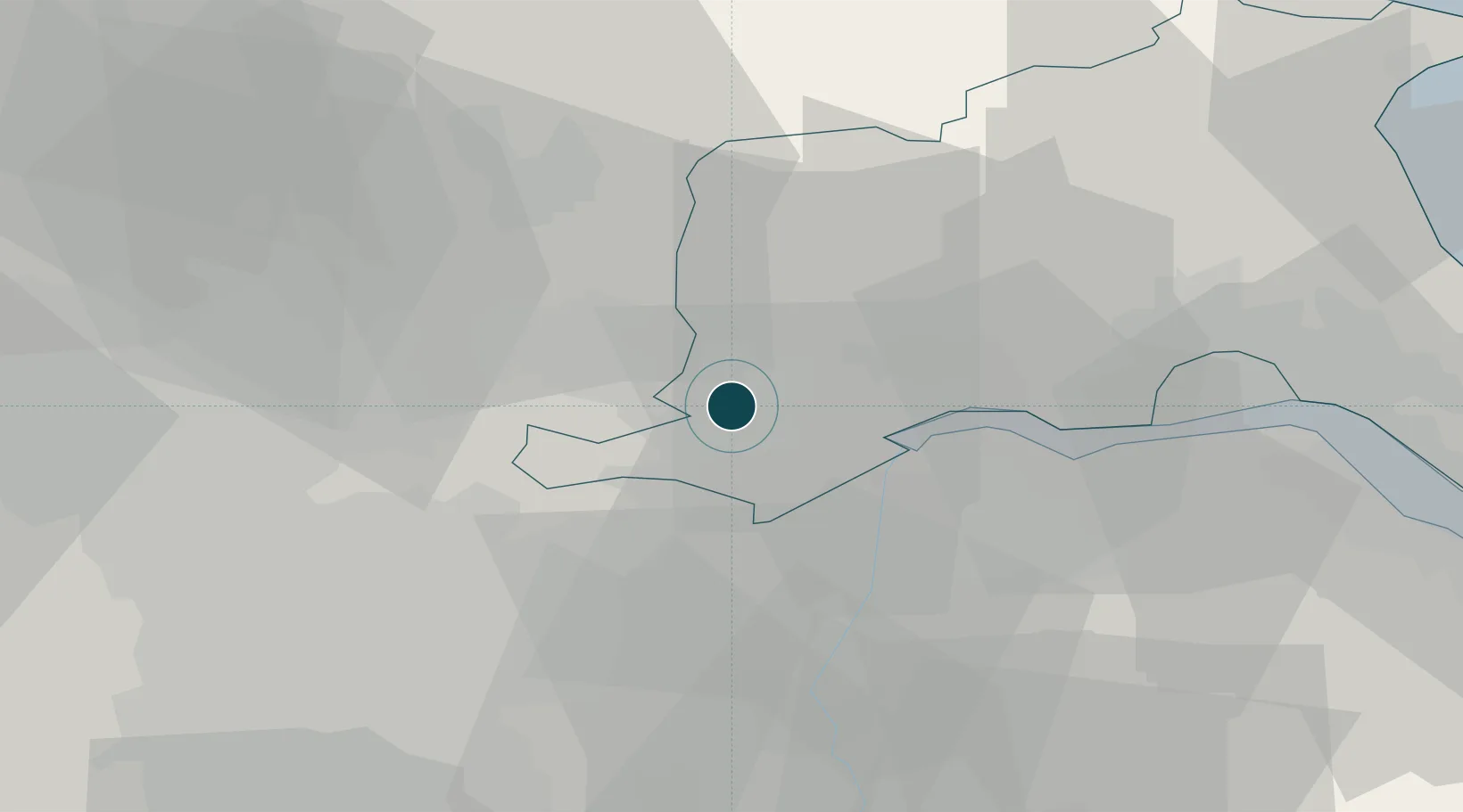
Location
Nearby Logistics Neighbours
Ports
- 1Goole5 km
- 2New Holland34 km
- 3Kingston Upon Hull40 km
- 4Immingham46 km
- 5Grimsby56 km
Cities
- 1Drax7 km
- 2Rawcliffe Bridge8 km
- 3Bubwith10 km
- 4Selby13 km
- 5Seaton Ross14 km
Airports
- 1Leeds East Airport23 km
- 2Humberside Airport39 km
- 3Leeds Bradford Airport53 km
- 4RAF Topcliffe62 km
- 5RAF Waddington67 km
Trade Zones
DatabookThe Record of Consolidated Knowledge
United Kingdom beyond logistics?