Seaport · United Kingdom
GooleGBGOO
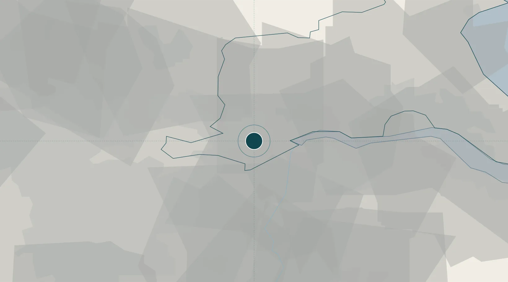
53.7000°, -0.8333°
3.4 m
Channel depth
12.8
Port liner connectivity
Channel & Berth Profile
Pilotage, Tugs & Services
Pilotage compulsoryYES
Pilotage availableYES
Pilotage advisableYES
Local assistanceYES
Tug assistanceYES
Potable waterYES
Diesel bunkersYES
MedicalYES
Garbage disposalYES
Facilities & Capabilities
Container—
Ro-Ro—
Liquid bulk—
Dry bulk—
Oil terminal—
Break bulk—
Dry dock—
RepairsNO
BunkeringYES
Rail linkYES
Dangerous cargo—
ISPS security—
Harbour Specifications
Harbour size
Small
Harbour type
River (Tide Gates)
Shelter
Excellent
Water body
North Sea; North Atlantic Ocean
Tidal range
5 m
Overhead limit
Yes
Pilotage
Yes
Liner Connectivity
12.8
PLSCI
Port Liner Shipping Connectivity Index for Goole, as published by UNCTAD for the latest available quarter. Higher values indicate stronger scheduled liner-shipping integration.
Shown relative to the highest per-port PLSCI in the dataset (1,657.9).
Location
Nearby Logistics Neighbours
Ports
- 1Howdendyke5 km
- 2New Holland31 km
- 3Kingston Upon Hull37 km
- 4Immingham42 km
- 5Grimsby52 km
Cities
- 1Howdendyke4 km
- 2Rawcliffe Bridge8 km
- 3Drax11 km
- 4Burton upon Stather11 km
- 5Pocklington12 km
Airports
- 1Leeds East Airport28 km
- 2Humberside Airport35 km
- 3Leeds Bradford Airport57 km
- 4RAF Waddington63 km
- 5RAF Topcliffe67 km
Trade Zones
DatabookThe Record of Consolidated Knowledge
United Kingdom beyond logistics?