Large airport · United Kingdom

East Midlands AirportEGNX
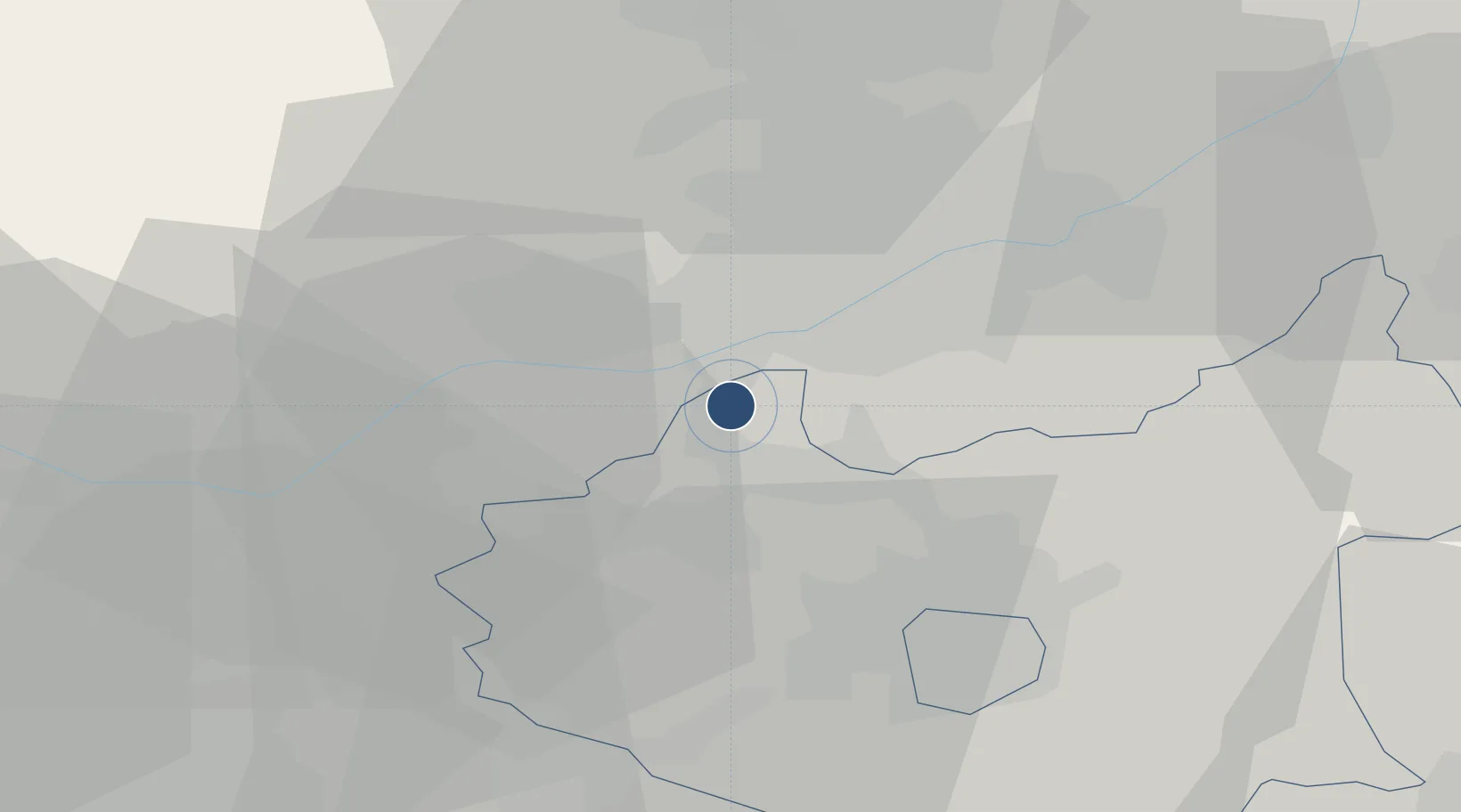
52.8311°, -1.3281°
9,495 ft
Longest runway
1
Runways
306 ft
Elevation

Runway & Layout

East Midlands Airport runway & taxiway layout
Runway & taxiway layout — OpenStreetMap (ODbL) / OurAirports

Radio Frequencies

ATIS
122.675 MHz
TWR
124 MHz
GND
121.9 MHz
APP
134.175 MHz
Fire service
121.6 MHz
OurAirports

Runways · 1

RunwayDimensions SurfaceTrue headingLit
09/27 9,495 × 148ft Asphalt 088°
OurAirports

Airport Specifications

IATA code
EMA
OurAirports
ICAO code
EGNX
OurAirports
Airport class
Large airport
OurAirports
Scheduled service
Yes
OurAirports
Runway surface
Asphalt
OurAirports
Served city
Nottingham, Leicestershire
OurAirports

Location

Location of EGNX
Natural Earth 10m (public domain) · Leicestershire · EGNX · 52.83, -1.33GoogleOSMYandex

Nearby Logistics Neighbours

Airports
  1. 1Nottingham City Airport19 km
  2. 2Birmingham Airport51 km
  3. 3Coventry Airport52 km
  4. 4RAF Barkston Heath54 km
  5. 5RAF Cranwell60 km
Nearest neighbours — logibook spatial index (haversine) over the source coordinates
Cities
  1. 1Kegworth3 km
  2. 2Normanton on Soar7 km
  3. 3Melbourne7 km
  4. 4Barrow upon Trent10 km
  5. 5The Forties13 km
Nearest neighbours — logibook spatial index (haversine) over the source coordinates
Ports
  1. 1Boston89 km
  2. 2Manchester96 km
  3. 3Wisbech101 km
  4. 4Goole102 km
  5. 5Howdendyke105 km
Nearest neighbours — logibook spatial index (haversine) over the source coordinates
Trade Zones
  1. 1Infinity Park Derby Enterprise Zone11 km
  2. 2Nottingham D2N2 Enterprise Zone16 km
  3. 3Loughborough Leicester Enterprise Zone26 km
  4. 4Mira Technology Park33 km
  5. 5Birmingham City Centre Enterprise Zone55 km
Nearest neighbours — logibook spatial index (haversine) over the source coordinates
DatabookThe Record of Consolidated Knowledge
United Kingdom beyond logistics?
Browse databook

All Sources

AirportsOurAirports
Public domain
Portsthe NGA World Port Index
Public domain (US gov)
LocationsUN/LOCODE
UN/LOCODE — free
Trade Zonesthe World Bank SEZ database
CC BY 4.0
Trade ZonesOpen Zone Map
CC BY
InfrastructureOpenStreetMap
ODbL 1.0
← United Kingdom airports